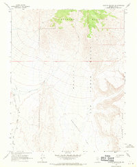
1968 Map of Scottys Junction NE
USGS Topo · Published 1970About this map
Stonewall Mountain dominates the northern horizon of this high-desert landscape, part of a territory defined by the requirements of the Nellis Air Force Range. The topography illustrates a transition from the rugged slopes of Pahute Mesa down into the broad, dry expanses of Sarcobatus Flat and the Lida Valley. While much of the terrain is marked only by a sparse Jeep Trail, the map preserves a significant piece of local transport history along its western edge.
Find a feature on this map
9 named features on this map. Tap any name to fly to it.
Don’t see what you’re looking for? This feature index may not catch every label — zoom into the map to look around manually.
Map Details
Editions of this 1968 Scottys Junction NE Map
This is the sole edition of this map. No revisions or reprints were ever made.
Other maps of this area

1908 · Kawich
USGS Topo · 1:250,000

1908 · Lida
USGS Topo · 1:250,000

1913 · Lida
USGS Topo · 1:250,000

1942 · Tolicha Peak
USGS Topo · 1:125,000

1942 · Cactus Range
USGS Topo · 1:125,000

1945 · Goldfield
USGS Topo · 1:125,000

1952 · Cactus Spring
USGS Topo · 1:62,500

1952 · Goldfield
USGS Topo · 1:62,500

1954 · Goldfield
USGS Topo · 1:250,000

1955 · Goldfield
USGS Topo · 1:250,000