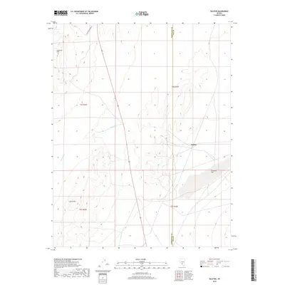
2018 Map of Ralston
USGS Topo · Published 2018About this map
Ralston occupies a key junction in this arid basin, situated where the high desert terrain of the Goldfield Hills transitions toward the expansive Stonewall Flat. The map reveals a landscape defined by seasonal water drainage and topography, with China Wash cutting through the central region and the Cuprite Hills rising to the southwest. This 2018 survey documents the persistent presence of the Esmeralda and Nye County line, which bisects the valley north-to-south. Transportation is anchored by the primary corridor of E Railroad Springs Rd, reflecting the sparse but enduring network of roads that serve this remote mining and ranching district. The mapping of township lines like t4s r43e and t5s r42e provides an essential framework for those studying public land use and property history in this corner of Nevada.
Find a feature on this map
11 named features on this map. Tap any name to fly to it.
Don’t see what you’re looking for? This feature index may not catch every label — zoom into the map to look around manually.
Map Details
Editions of this 2018 Ralston Map
This is the sole edition of this map. No revisions or reprints were ever made.
Other maps of this area

1908 · Lida
USGS Topo · 1:250,000

1913 · Lida
USGS Topo · 1:250,000

1945 · Goldfield
USGS Topo · 1:125,000

1952 · Goldfield
USGS Topo · 1:62,500

1954 · Goldfield
USGS Topo · 1:250,000

1955 · Goldfield
USGS Topo · 1:250,000

1958 · Goldfield
USGS Topo · 1:250,000

1962 · Goldfield
USGS Topo · 1:250,000

1968 · Stonewall Pass
USGS Topo · 1:24,000
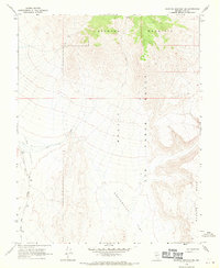
1968 · Scottys Junction NE
USGS Topo · 1:24,000