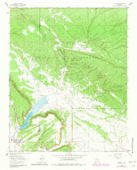
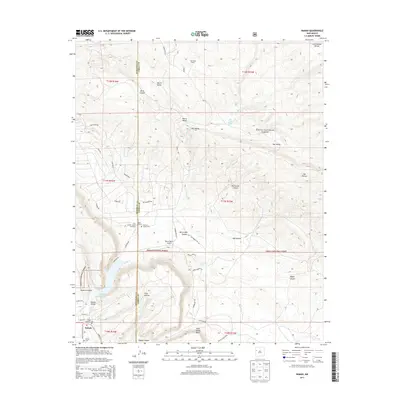
1963 Map of Ramah
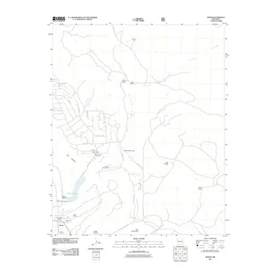
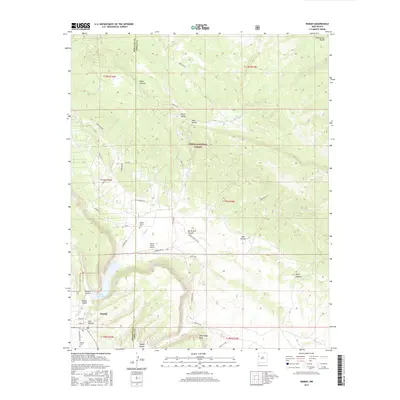
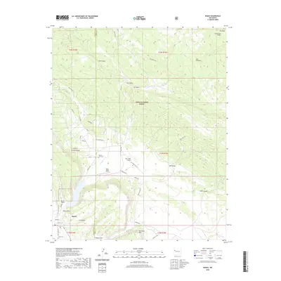
USGS Topo · Published 1981About this map
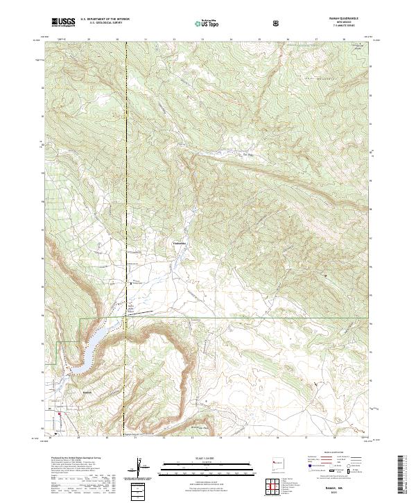
Ramah serves as the focal point of this high-desert landscape in Western New Mexico, situated within the Cebolla Valley just west of the Ramah Indian Area. The village is anchored by local heritage sites including the Ramah Cem and the Mormon Colony Cem, reflecting the area's early settlement history. Significant water management is evident at the Ramah Reservoir, which sits at the base of the prominent geological formation known as The Hogback. The terrain to the north and east transitions into the Cibola National Forest, where isolated homesteads and livestock operations like Old Bond Ranch, Dent Ranch, and Dan Valley are tucked into canyons such as Blind Canyon and Pipkin Canyon. The map reveals a network of canyons and mesas, including Wild Sheep Mesa and Harris Valley, alongside landmarks like The Falls on Cebolla Creek.
Find a feature on this map
26 named features on this map. Tap any name to fly to it.
Don’t see what you’re looking for? This feature index may not catch every label — zoom into the map to look around manually.
Map Details
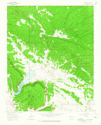
Editions of this 1963 Ramah Map
2 editions found
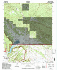
Historical Maps of Eastern Navajo Agency Through Time
7 maps found
Featured Locations
- United States
- Cibola County, NM
- Eastern Navajo Agency, NM
- McKinley County, NM
- Ramah, Eastern Navajo Agency