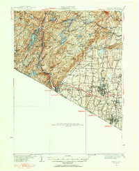
1931 Map of Ramapo
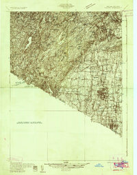
USGS Topo · Published 1956About this map
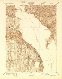
The Ramapo River corridor serves as the primary artery for settlement and industry during this era, with the Erie Railroad and Seven Lakes Drive navigating the complex topography of the Palisades Interstate Park. To the west, the exclusive enclave of Tuxedo Park and the industrial hubs of Sloatsburg and Ramapo follow the river, while the eastern lowlands transition into a denser network of institutional sites and small communities. A significant landmark is Letchworth Village State Institution for Feeble Minded, which occupies a massive campus near Thiells. The landscape is dotted with several charitable and residential institutions, including the St Agatha Home and Lakeside Home. Historic schoolhouses and small places of worship like Wesley Chapel and Brick Sch are scattered throughout the Mahwah River valley, providing essential data for genealogists tracing early twentieth-century residents in the Rockland County area.
Find a feature on this map
134 named features on this map. Tap any name to fly to it.
Don’t see what you’re looking for? This feature index may not catch every label — zoom into the map to look around manually.
Map Details
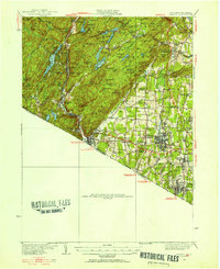
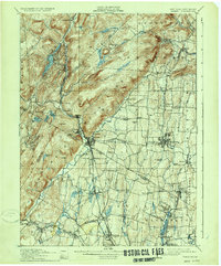
Editions of this 1931 Ramapo Map
3 editions found
Historical Maps of Ramapo Through Time
13 maps found
1910 Ramapo
Rockland County, NY
1931 Ramapo
Rockland County, NY
1938 Haverstraw
Rockland County, NY
1938 Ramapo
Rockland County, NY
1943 Haverstraw
Rockland County, NY
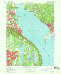
1955 Haverstraw
Rockland County, NY
1967 Haverstraw
Rockland County, NY
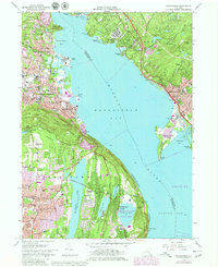
1979 Haverstraw
Rockland County, NY
2010 Haverstraw
Rockland County, NY
2013 Haverstraw
Rockland County, NY
2016 Haverstraw
Rockland County, NY
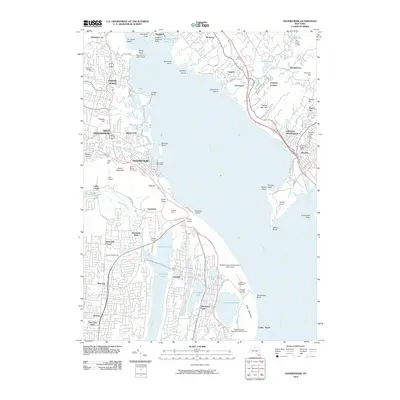
2019 Haverstraw
Rockland County, NY

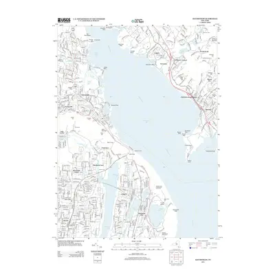
2023 Haverstraw
Rockland County, NY