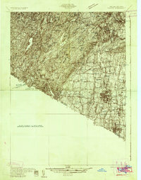
1931 Map of Ramapo
USGS Topo · Published 1931About this map
Letchworth Village and the sprawling hills of the Palisades Interstate Park dominate the northern terrain of this Rockland County survey. The landscape transitions from the high peaks of Hogencamp Mtn and Fingerboard Mtn in the west down toward the bustling communities along the Erie RR. This era shows a region of dense water bodies like Lake Tiorati and Sebago Lake contrasting with the rapid development near Spring Valley and Nanuet. Local history is preserved in the placement of landmarks like the Hogan Kamp Mine and the St Anthonys Shrine near Bardonia. The rail network serves as the primary artery for towns like Suffern and Pearl River, while higher elevations maintain a wilderness character punctuated by a Fire Tower and isolated camps such as Summerland Camp.
Find a feature on this map
59 named features on this map. Tap any name to fly to it.
Don’t see what you’re looking for? This feature index may not catch every label — zoom into the map to look around manually.
Map Details
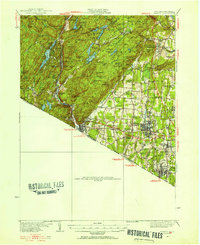
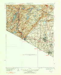
Editions of this 1931 Ramapo Map
3 editions found
Other maps of this area

1888 · Morristown
USGS Topo · 1:62,500

1888 · Paterson
USGS Topo · 1:62,500

1891 · Greenwood Lake
USGS Topo · 1:62,500

1891 · Ramapo
USGS Topo · 1:62,500

1891 · Harlem
USGS Topo · 1:62,500

1892 · West Point
USGS Topo · 1:62,500

1892 · Paterson
USGS Topo · 1:62,500

1892 · Tarrytown
USGS Topo · 1:62,500

1893 · Greenwood Lake
USGS Topo · 1:62,500

1893 · Tarrytown
USGS Topo · 1:62,500