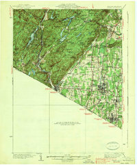
1938 Map of Ramapo
USGS Topo · Published 1938About this map
Harriman State Park dominates the northwestern portion of this 1930s landscape, a terrain of high peaks and significant water bodies. Notable elevations such as Big Hill, Cedar Pond Mtn, and Tom Jones Mtn overlook a network of lakes including Sebago Lake and Lake Kanawauke. The industrial and social history of the era is marked by the presence of Letchworth Village near Thiells and the strategic route of the Erie Railroad through the Ramapo River valley.
Find a feature on this map
116 named features on this map. Tap any name to fly to it.
Don’t see what you’re looking for? This feature index may not catch every label — zoom into the map to look around manually.
Map Details
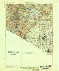
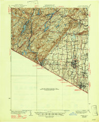
Editions of this 1938 Ramapo Map
3 editions found
Other maps of this area

1888 · Morristown
USGS Topo · 1:62,500

1888 · Paterson
USGS Topo · 1:62,500

1891 · Greenwood Lake
USGS Topo · 1:62,500

1891 · Ramapo
USGS Topo · 1:62,500

1891 · Harlem
USGS Topo · 1:62,500

1892 · West Point
USGS Topo · 1:62,500

1892 · Paterson
USGS Topo · 1:62,500

1892 · Tarrytown
USGS Topo · 1:62,500

1893 · Greenwood Lake
USGS Topo · 1:62,500

1893 · Tarrytown
USGS Topo · 1:62,500