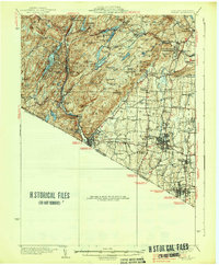
1938 Map of Ramapo
USGS Topo · Published 1938About this map
Letchworth Village and the expansive tracts of the Palisades Interstate Park define the eastern and northern reaches of this Rockland County survey. The landscape is a study in contrasting development, where the industrial and transport corridor of the Erie RR connects valley settlements like Sloatsburg, Ramapo, and Suffern against a backdrop of complex terrain. To the north, numerous water bodies such as Lake Stahahe, Island Pond, and Lake Kanawauke reflect the era's conservation and recreation efforts along Seven Lakes Drive.
Find a feature on this map
108 named features on this map. Tap any name to fly to it.
Don’t see what you’re looking for? This feature index may not catch every label — zoom into the map to look around manually.
Map Details
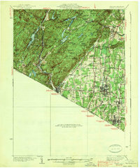
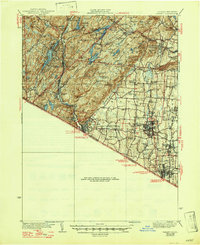
Editions of this 1938 Ramapo Map
3 editions found
Other maps of this area

1888 · Morristown
USGS Topo · 1:62,500

1888 · Paterson
USGS Topo · 1:62,500

1891 · Greenwood Lake
USGS Topo · 1:62,500

1891 · Ramapo
USGS Topo · 1:62,500

1891 · Harlem
USGS Topo · 1:62,500

1892 · West Point
USGS Topo · 1:62,500

1892 · Paterson
USGS Topo · 1:62,500

1892 · Tarrytown
USGS Topo · 1:62,500

1893 · Greenwood Lake
USGS Topo · 1:62,500

1893 · Tarrytown
USGS Topo · 1:62,500