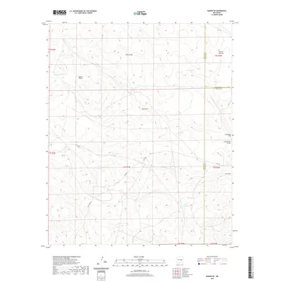
2020 Map of Ramon SW
USGS Topo · Published 2020About this map
The high desert landscape where Chaves, Lincoln, and De Baca Counties converge is defined by a sparse but vital network of water catchment systems and geologic landforms. A notable Natural Bridge stands as a primary landmark in the northwestern section, while the drainage patterns of Buck Draw, Dipping Vat Draw, and Automobile Draw dictate the local topography. This arid region relies heavily on a series of named earthen tanks and reservoirs, such as Railroad Tank, White Tank, and South Adobe Tank, which reflect the ranching heritage and water management strategies of this part of New Mexico. The transition from the flat draws to the more pronounced Fifteenmile Arroyo and Corn Draw highlights the drainage system feeding into larger basins. Roads such as Sotol RD and Co RD b024 provide the few transit corridors through this open country, where the intersection of three counties and multiple township boundaries underscores its role as a jurisdictional crossroad.
Find a feature on this map
29 named features on this map. Tap any name to fly to it.
Don’t see what you’re looking for? This feature index may not catch every label — zoom into the map to look around manually.
Map Details
Editions of this 2020 Ramon SW Map
This is the sole edition of this map. No revisions or reprints were ever made.
Other maps of this area

1954 · Fort Sumner
USGS Topo · 1:250,000

1955 · Roswell
USGS Topo · 1:250,000

1958 · Fort Sumner
USGS Topo · 1:250,000

1958 · Roswell
USGS Topo · 1:250,000

1962 · Roswell
USGS Topo · 1:250,000

1967 · Wire Lake
USGS Topo · 1:24,000

1967 · Round Mountain
USGS Topo · 1:24,000

1967 · Chivata Canyon
USGS Topo · 1:24,000

1967 · Ramon
USGS Topo · 1:24,000

1967 · Ramon SW
USGS Topo · 1:24,000