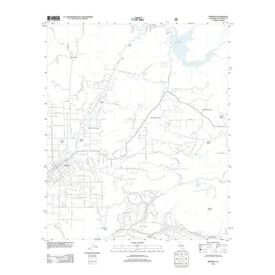
2012 Map of Ramona
USGS Topo · Published 2012About this map
Ramona and its surrounding valleys are the centerpiece of this 2012 survey, showing a landscape defined by ranching heritage and foothill geography. The settlement at Ramona is clearly detailed, including the local post office and the nearby Memory Gardens Cem. Residential growth extends into areas like Valle De Los Amigos and Rincon Refugio, while the outlying Bassett Ranch illustrates the transition from town center to more isolated homesteads.
Find a feature on this map
129 named features on this map. Tap any name to fly to it.
Don’t see what you’re looking for? This feature index may not catch every label — zoom into the map to look around manually.
Map Details
Editions of this 2012 Ramona Map
This is the sole edition of this map. No revisions or reprints were ever made.
Other maps of this area

1893 · El Cajon
USGS Topo · 1:62,500

1901 · Elcajon
USGS Topo · 1:62,500

1903 · Cuyamaca
USGS Topo · 1:125,000

1903 · Elcajon
USGS Topo · 1:62,500

1903 · Ramona
USGS Topo · 1:125,000

1904 · Southern California Sheet No. 2
USGS Topo · 1:250,000

1939 · El Cajon
USGS Topo · 1:62,500

1939 · Santa Ysabel
USGS Topo · 1:62,500

1942 · El Cajon
USGS Topo · 1:62,500

1942 · Ramona
USGS Topo · 1:62,500