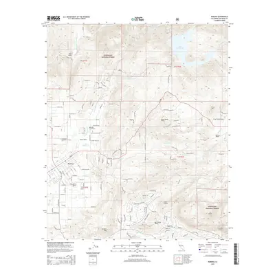
2015 Map of Ramona
USGS Topo · Published 2015About this map
Ramona and its surrounding valleys are the focus of this 2015 study, illustrating the modern residential footprint and agricultural landscape in central San Diego County. The town site is centered in the Santa Maria Valley, while smaller pockets of development appear at Valle De Los Amigos and Goose Valley. The terrain rises sharply toward the Cleveland National Forest and local landmarks like Spangler Peak and Mt Gower, showing the transition from suburban outskirts to protected wilderness.
Find a feature on this map
130 named features on this map. Tap any name to fly to it.
Don’t see what you’re looking for? This feature index may not catch every label — zoom into the map to look around manually.
Map Details
Editions of this 2015 Ramona Map
This is the sole edition of this map. No revisions or reprints were ever made.
Other maps of this area

1893 · El Cajon
USGS Topo · 1:62,500

1901 · Elcajon
USGS Topo · 1:62,500

1903 · Cuyamaca
USGS Topo · 1:125,000

1903 · Elcajon
USGS Topo · 1:62,500

1903 · Ramona
USGS Topo · 1:125,000

1904 · Southern California Sheet No. 2
USGS Topo · 1:250,000

1939 · El Cajon
USGS Topo · 1:62,500

1939 · Santa Ysabel
USGS Topo · 1:62,500

1942 · El Cajon
USGS Topo · 1:62,500

1942 · Ramona
USGS Topo · 1:62,500