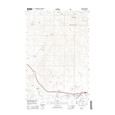
2014 Map of Ramsay
USGS Topo · Published 2014About this map
Ramsay and the adjacent settlement of Nissler anchor the southern reaches of this landscape, situated along the corridor of Silver Bow Cr. This area of Montana is defined by the transition from the industrial and transport infrastructure of the valley floor to the protected terrain of Deerlodge National Forest to the north. A dense network of named trails and forest roads, including the Pony Express Trl, Tenderfoot Trl, and Deadwood Trl, suggests a legacy of early transit and exploration through the various gulches. Notable landforms such as McCleery Gulch and Hensley Gulch score the terrain, while landmarks like Chinaman's Spring and Miles Crossing provide specific points of interest for local history and genealogical research. The mapping of Silver Bow Creek Bridge and various frontage roads reflects the modern transportation development layered over older routes like Battle Ridge Rd.
Find a feature on this map
36 named features on this map. Tap any name to fly to it.
Don’t see what you’re looking for? This feature index may not catch every label — zoom into the map to look around manually.
Map Details
Editions of this 2014 Ramsay Map
This is the sole edition of this map. No revisions or reprints were ever made.
Other maps of this area

1889 · Helena
USGS Topo · 1:250,000

1893 · Helena
USGS Topo · 1:250,000

1893 · Dillon
USGS Topo · 1:250,000

1899 · Helena
USGS Topo · 1:250,000

1903 · Helena
USGS Topo · 1:250,000

1947 · Butte
USGS Topo · 1:250,000

1955 · Dillon
USGS Topo · 1:250,000

1957 · Dillon
USGS Topo · 1:250,000

1958 · Butte
USGS Topo · 1:250,000

1958 · Dillon
USGS Topo · 1:250,000