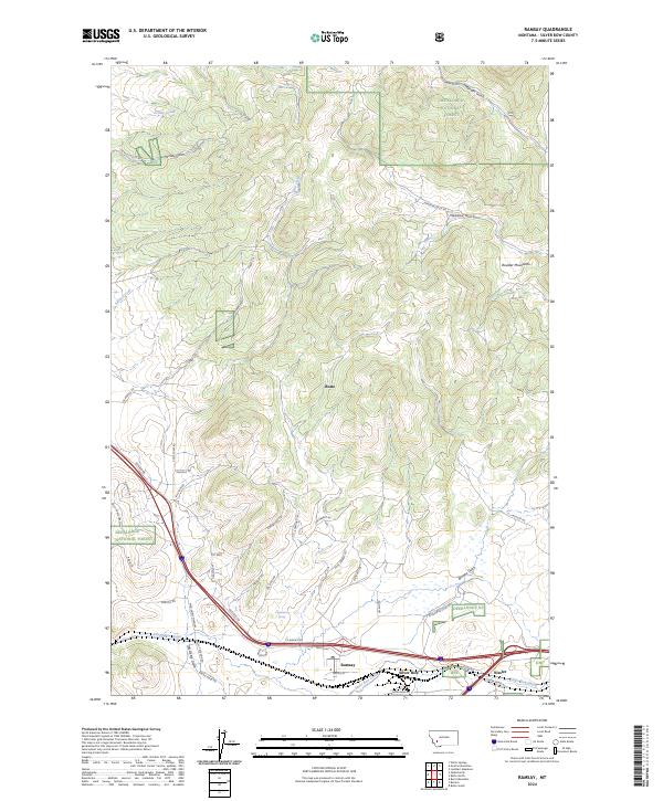
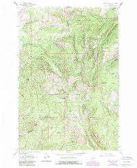
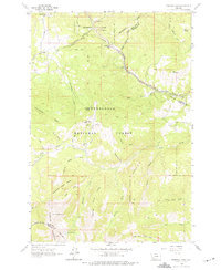
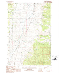
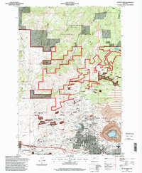
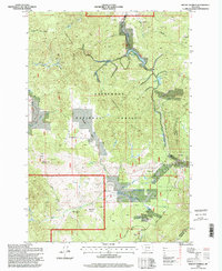
2024 Map of Ramsay
USGS Topo · Published 2024This historical map portrays the area of Ramsay in 2024, primarily covering Silver Bow. Featuring a scale of 1:24000, this map provides a highly detailed snapshot of the terrain, roads, buildings, counties, and historical landmarks in the Ramsay region at the time. Published in 2024, it is the sole known edition of this map.
Map Details
Editions of this 2024 Ramsay Map
This is the sole edition of this map. No revisions or reprints were ever made.
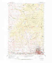
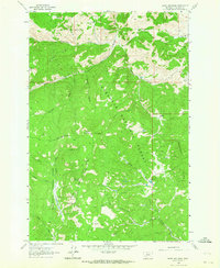
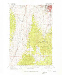
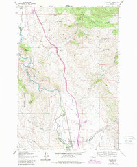
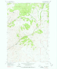
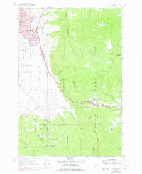
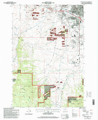
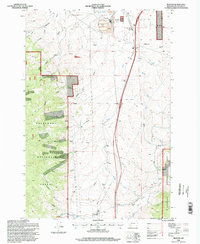
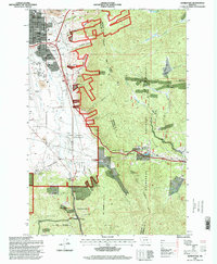
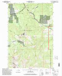
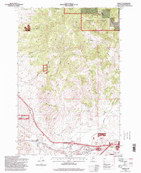
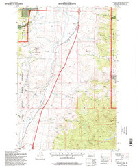
Historical Maps of Silver Bow Through Time
38 maps found
1959 Butte North
Silver Bow County, MT
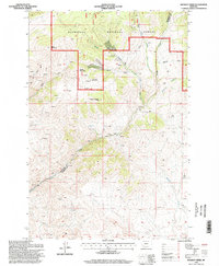
1961 Burnt Mountain
Silver Bow County, MT
1961 Butte South
Silver Bow County, MT
1961 Dickie Peak
Silver Bow County, MT
1961 Melrose
Silver Bow County, MT
1961 Wickiup Creek
Silver Bow County, MT
1963 Homestake
Silver Bow County, MT
1963 Pipestone Pass
Silver Bow County, MT
1989 Butte North
Silver Bow County, MT
1989 Butte South
Silver Bow County, MT
1989 Buxton
Silver Bow County, MT
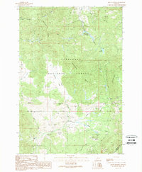
1989 Mount Humbug
Silver Bow County, MT
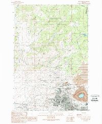
1989 Ramsay
Silver Bow County, MT
1989 Tucker Creek
Silver Bow County, MT
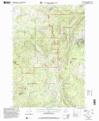
1996 Burnt Mountain
Silver Bow County, MT
1996 Butte North
Silver Bow County, MT
1996 Butte South
Silver Bow County, MT
1996 Buxton
Silver Bow County, MT
1996 Homestake
Silver Bow County, MT
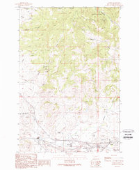
1996 Mount Humbug
Silver Bow County, MT
1996 Pipestone Pass
Silver Bow County, MT
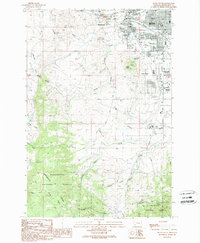
1996 Ramsay
Silver Bow County, MT
1996 Tucker Creek
Silver Bow County, MT
1996 Wickiup Creek
Silver Bow County, MT
1997 Dickie Peak
Silver Bow County, MT
1997 Melrose
Silver Bow County, MT
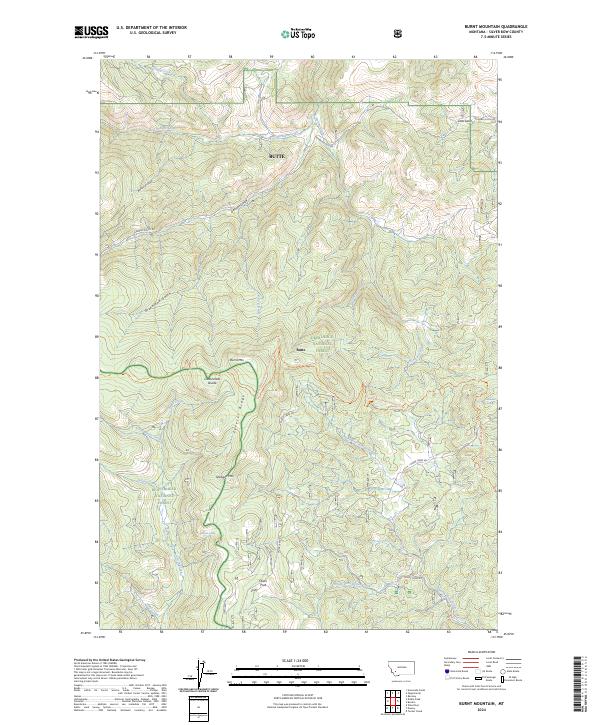
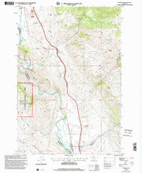
2024 Burnt Mountain
Silver Bow County, MT
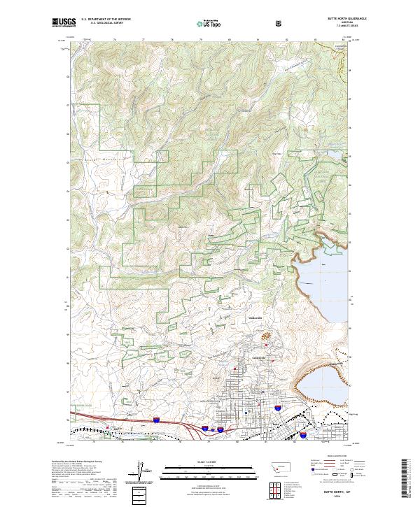
2024 Butte North
Silver Bow County, MT
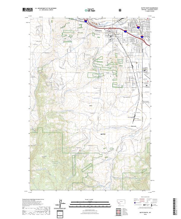
2024 Butte South
Silver Bow County, MT
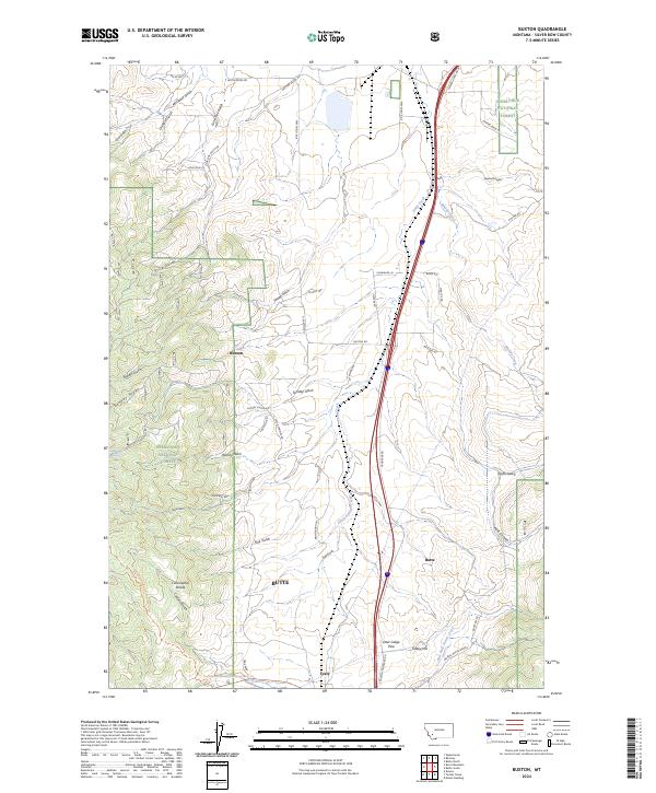
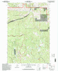
2024 Buxton
Silver Bow County, MT
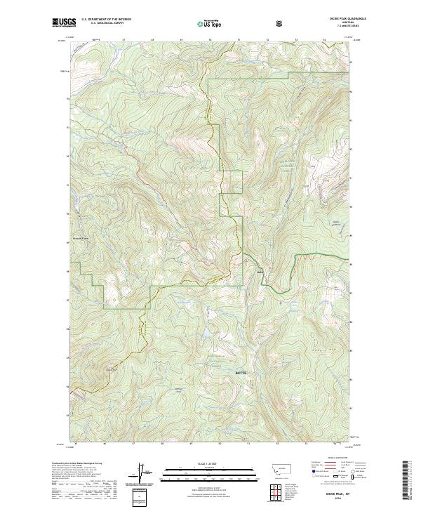
2024 Dickie Peak
Silver Bow County, MT
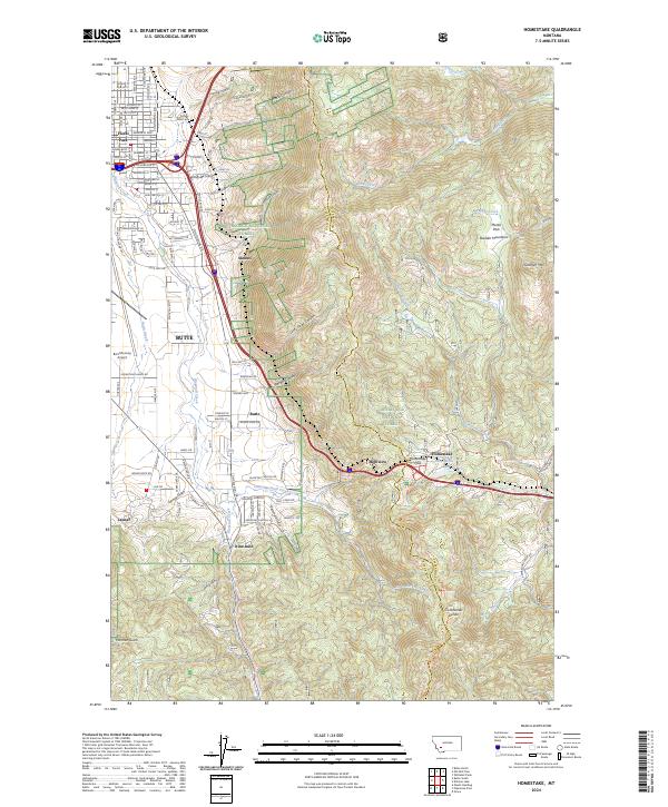
2024 Homestake
Silver Bow County, MT
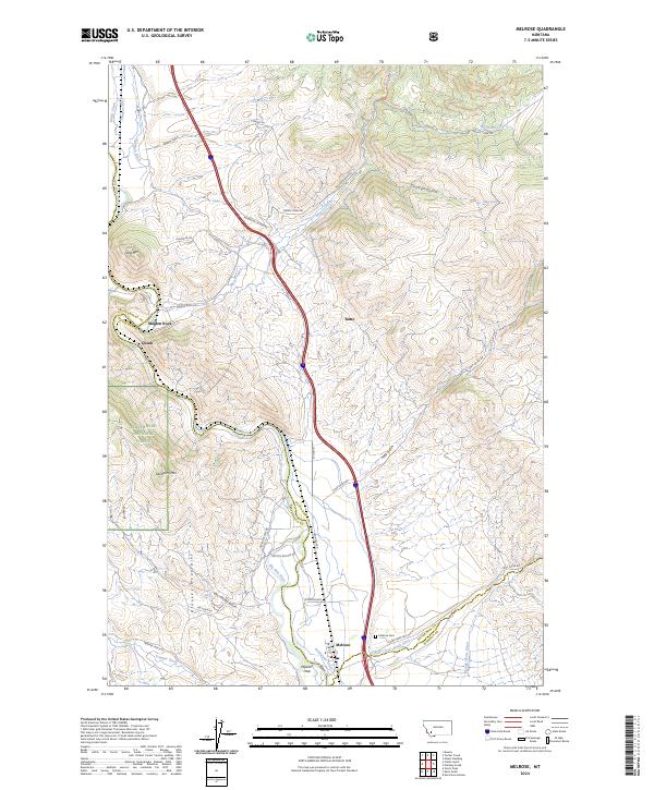
2024 Melrose
Silver Bow County, MT
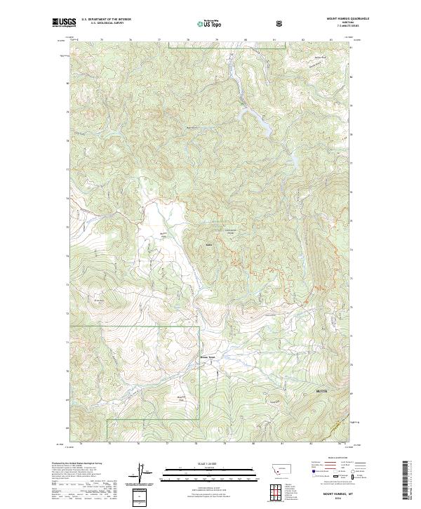
2024 Mount Humbug
Silver Bow County, MT
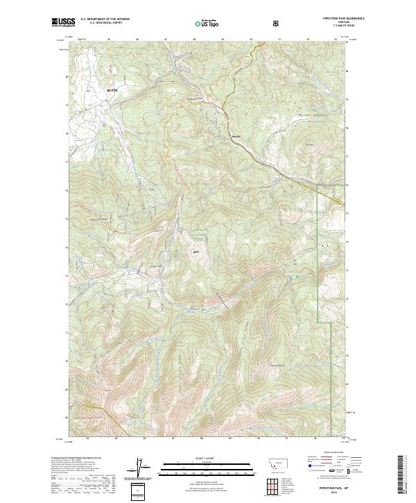
2024 Pipestone Pass
Silver Bow County, MT
2024 Ramsay
Silver Bow County, MT
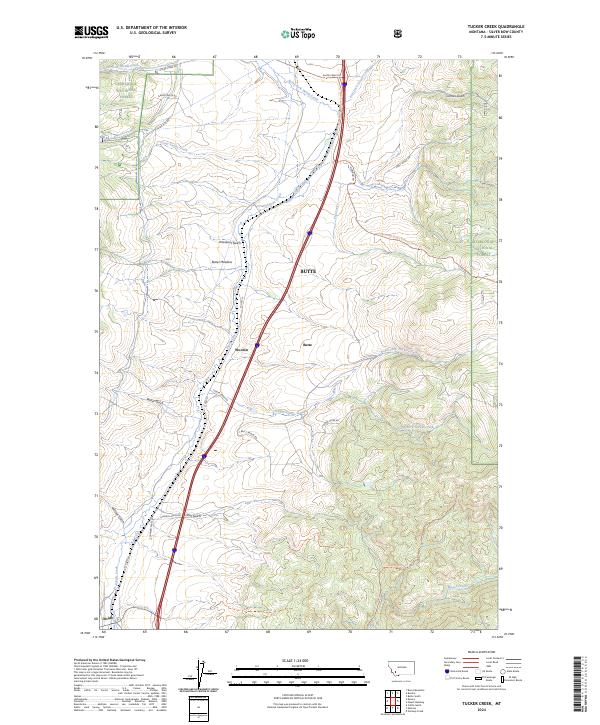
2024 Tucker Creek
Silver Bow County, MT
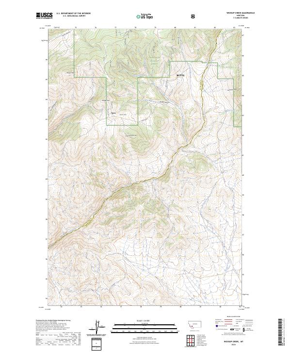
2024 Wickiup Creek
Silver Bow County, MT