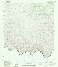
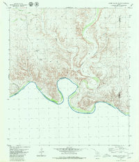
1980 Map of Ramsey Canyon
USGS Topo · Published 1980About this map
The Rio Grande carves a deep boundary between United States and Mexico at the southern edge of this West Texas survey. The landscape is dominated by the intricate drainage systems of Ramsey Canyon, Rattlesnake Canyon, and Osman Canyon, which feed into the rising waters of the Amistad Reservoir. In the northeast, the Southern Pacific tracks run parallel to an Old Railroad Grade, marking a shift in the transportation corridor through this arid terrain.
Find a feature on this map
18 named features on this map. Tap any name to fly to it.
Don’t see what you’re looking for? This feature index may not catch every label — zoom into the map to look around manually.
Map Details
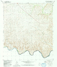
Editions of this 1980 Ramsey Canyon Map
2 editions found
Other maps of this area

1943 · Malvado
USGS Topo · 1:62,500

1943 · Langtry
USGS Topo · 1:62,500

1944 · Malvado
USGS Topo · 1:62,500

1958 · Del Rio
USGS Topo · 1:250,000

1964 · Del Rio
USGS Topo · 1:250,000

1973 · Langtry
USGS Topo · 1:24,000
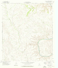
1973 · Harkell Canyon
USGS Topo · 1:24,000
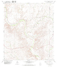
1979 · Lozier Canyon North
USGS Topo · 1:24,000
1979 · Lozier Canyon South
USGS Topo · 1:24,000
1980 · Pumpville
USGS Topo · 1:24,000