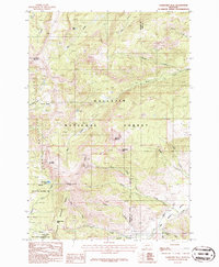
1986 Map of Ramshorn Peak
USGS Topo · Published 1986About this map
Gallatin National Forest Petrified Forest dominates the southern reaches of this high-elevation terrain, where geological history is preserved alongside rugged mountain summits. As of the mid-1980s, this landscape remained largely defined by its primitive trails and natural drainage systems, including the headwaters of Sunlight Creek and Buffalo Creek. The topographic detail illustrates a transition from the dense drainages of the Tom Miner Basin to the sharp peaks of the Gallatin Range.
Find a feature on this map
35 named features on this map. Tap any name to fly to it.
Don’t see what you’re looking for? This feature index may not catch every label — zoom into the map to look around manually.
Map Details
Editions of this 1986 Ramshorn Peak Map
2 editions found
Other maps of this area

1888 · Three Forks
USGS Topo · 1:250,000

1891 · Livingston
USGS Topo · 1:250,000

1893 · Livingston
USGS Topo · 1:250,000

1894 · Three Forks
USGS Topo · 1:250,000

1895 · Three Forks
USGS Topo · 1:250,000

1947 · Bozeman
USGS Topo · 1:250,000

1948 · Bozeman
USGS Topo · 1:250,000

1955 · Bozeman
USGS Topo · 1:250,000

1955 · Garnet Mountain
USGS Topo · 1:62,500

1955 · Fridley Peak
USGS Topo · 1:62,500