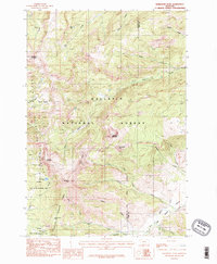
1986 Map of Ramshorn Peak
USGS Topo · Published 1986About this map
Gallatin National Forest high country defines this 1986 study of the Gallatin Range, where the boundary between Gallatin and Park Counties follows the drainage divides. The landscape is marked by prominent summits like Ramshorn Peak and Eaglehead Mountain, with high-altitude waters such as Ramshorn Lake and Lake Elsie situated in deep glacial cirques. The presence of the Petrified Forest and the Gallatin State Wildlife Management Area suggests a region dedicated to conservation and the preservation of geologic history. Connectivity across this high terrain is maintained primarily by the Pack Trail, which navigates through Buffalo Horn Pass and near the Buffalo Horn Lakes. These routes represent the traditional backcountry access points used by foresters and hunters throughout the late 20th century.
Find a feature on this map
32 named features on this map. Tap any name to fly to it.
Don’t see what you’re looking for? This feature index may not catch every label — zoom into the map to look around manually.
Map Details
Editions of this 1986 Ramshorn Peak Map
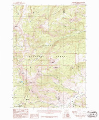
2 editions found
Other maps of this area

1888 · Three Forks
USGS Topo · 1:250,000

1891 · Livingston
USGS Topo · 1:250,000

1893 · Livingston
USGS Topo · 1:250,000

1894 · Three Forks
USGS Topo · 1:250,000

1895 · Three Forks
USGS Topo · 1:250,000

1947 · Bozeman
USGS Topo · 1:250,000

1948 · Bozeman
USGS Topo · 1:250,000

1955 · Bozeman
USGS Topo · 1:250,000

1955 · Garnet Mountain
USGS Topo · 1:62,500

1955 · Fridley Peak
USGS Topo · 1:62,500