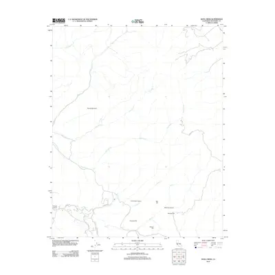
2012 Map of Rana Creek
USGS Topo · Published 2012About this map
Tularcitos Cr and Rana Cr define the drainage patterns of this Monterey County landscape, where deep canyons and high ridges dictate the path of travel. The southern portion of the quadrangle shows a concentration of rural infrastructure near School Hill, where E Carmel Valley Rd meets Tassajara Rd. This intersection, along with the nearby Cachagua Rd, represents a primary corridor through the hills, providing access to landmarks like Haystack Hill and Corral Viejo Canyon.
Find a feature on this map
26 named features on this map. Tap any name to fly to it.
Don’t see what you’re looking for? This feature index may not catch every label — zoom into the map to look around manually.
Map Details
Editions of this 2012 Rana Creek Map
This is the sole edition of this map. No revisions or reprints were ever made.
Other maps of this area

1910 · Gonzales
USGS Topo · 1:31,680

1910 · Salinas
USGS Topo · 1:31,680

1910 · Soledad
USGS Topo · 1:31,680

1912 · Salinas
USGS Topo · 1:62,500

1915 · Soledad
USGS Topo · 1:62,500

1920 · Jamesburg
USGS Topo · 1:48,000

1921 · Jamesburg
USGS Topo · 1:62,500

1921 · Gonzales
USGS Topo · 1:62,500

1939 · Jamesburg
USGS Topo · 1:62,500

1940 · Salinas
USGS Topo · 1:62,500