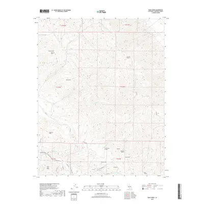
2018 Map of Rana Creek
USGS Topo · Published 2018About this map
Buckeye Ridge and the Sierra de Salinas dominate this part of the Santa Lucia Range in Monterey County. The landscape is defined by its deep canyons and named summits, including Burned Mtn and Red Hill. A complex network of drainage systems such as Rana Cr, Tularcitos Cr, and Agua Mala Cr carve through the terrain, illustrating the natural watershed patterns of the region.
Find a feature on this map
41 named features on this map. Tap any name to fly to it.
Don’t see what you’re looking for? This feature index may not catch every label — zoom into the map to look around manually.
Map Details
Editions of this 2018 Rana Creek Map
This is the sole edition of this map. No revisions or reprints were ever made.
Other maps of this area

1910 · Gonzales
USGS Topo · 1:31,680

1910 · Salinas
USGS Topo · 1:31,680

1910 · Soledad
USGS Topo · 1:31,680

1912 · Salinas
USGS Topo · 1:62,500

1915 · Soledad
USGS Topo · 1:62,500

1920 · Jamesburg
USGS Topo · 1:48,000

1921 · Jamesburg
USGS Topo · 1:62,500

1921 · Gonzales
USGS Topo · 1:62,500

1939 · Jamesburg
USGS Topo · 1:62,500

1940 · Salinas
USGS Topo · 1:62,500