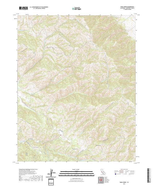
2021 Map of Rana Creek
USGS Topo · Published 2021About this map
Sierra de Salinas dominates the northern reaches of this landscape, a prominent ridge that defines the rugged drainage patterns of the central Monterey region. In the south, the topography transitions into the Santa Lucia Range, where a series of distinctive heights including School Hill, Buckeye Hill, and Haystack Hill cluster near the junction of Hastings Reservation Rd and Martin Rd. This area is characterized by deep canyons such as Corral Viejo Canyon and Madrona Canyon, which feed into the primary waterways of Tularcitos Cr and Cachagua Cr.
Find a feature on this map
40 named features on this map. Tap any name to fly to it.
Don’t see what you’re looking for? This feature index may not catch every label — zoom into the map to look around manually.
Map Details
Editions of this 2021 Rana Creek Map
This is the sole edition of this map. No revisions or reprints were ever made.
Other maps of this area

1910 · Gonzales
USGS Topo · 1:31,680

1910 · Salinas
USGS Topo · 1:31,680

1910 · Soledad
USGS Topo · 1:31,680

1912 · Salinas
USGS Topo · 1:62,500

1915 · Soledad
USGS Topo · 1:62,500

1920 · Jamesburg
USGS Topo · 1:48,000

1921 · Jamesburg
USGS Topo · 1:62,500

1921 · Gonzales
USGS Topo · 1:62,500

1939 · Jamesburg
USGS Topo · 1:62,500

1940 · Salinas
USGS Topo · 1:62,500