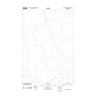
2011 Map of Rancher Cemetery
USGS Topo · Published 2011About this map
Pease Bottom serves as the focal point for this section of Treasure County, where the southern portion of the map transitions into the lowland geography of the Yellowstone River valley. The Rancher Cemetery stands as a significant genealogical landmark, situated near the junction of Meyers Rd and Pease Bottom Rd. The landscape is defined by the drainage networks of Muggins Creek and Alkali Creek, which carve through the terrain as they flow toward the river. This 2011 survey documents the rural road infrastructure necessary for ranching operations, including Sumatra Rd and Ingomar Rd, while also capturing the natural hydrology of the North Fork Edwards Creek in the southwest corner.
Find a feature on this map
11 named features on this map. Tap any name to fly to it.
Don’t see what you’re looking for? This feature index may not catch every label — zoom into the map to look around manually.
Map Details
Editions of this 2011 Rancher Cemetery Map
This is the sole edition of this map. No revisions or reprints were ever made.
Other maps of this area

1954 · Forsyth
USGS Topo · 1:250,000

1957 · Forsyth
USGS Topo · 1:250,000

1958 · Forsyth
USGS Topo · 1:250,000

1960 · Bighorn
USGS Topo · 1:24,000

1960 · Steie Ranch
USGS Topo · 1:24,000

1960 · Custer
USGS Topo · 1:24,000

1960 · Myers
USGS Topo · 1:24,000

1960 · Rancher Cemetery
USGS Topo · 1:24,000

1960 · Eldering Ranch
USGS Topo · 1:24,000

1960 · Mc Konkey Creek
USGS Topo · 1:24,000