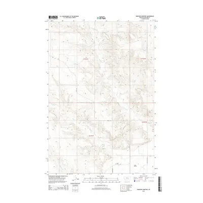
2014 Map of Rancher Cemetery
USGS Topo · Published 2014About this map
Rancher Cem serves as a small but vital anchor for local genealogy in this corner of Treasure County, Montana. The landscape is defined by the drainage patterns of Muggins Cr and Alkali Cr, which carve through the terrain as they flow toward the Yellowstone River valley. In the southern portion of the map, the broad expanse of Pease Bottom marks a transition from the dissected uplands to the river's alluvial plain, a location historically significant for early frontier outposts. This 2014 survey documents the modern road network essential for ranching operations, including Sumatra Rd, Fort Pease Rd, and Ingomar Rd. The presence of a secluded Spring near the eastern boundary underscores the importance of water sources in this arid environment, where N Fork Edwards Cr further shapes the local topography.
Find a feature on this map
16 named features on this map. Tap any name to fly to it.
Don’t see what you’re looking for? This feature index may not catch every label — zoom into the map to look around manually.
Map Details
Editions of this 2014 Rancher Cemetery Map
This is the sole edition of this map. No revisions or reprints were ever made.
Other maps of this area

1954 · Forsyth
USGS Topo · 1:250,000

1957 · Forsyth
USGS Topo · 1:250,000

1958 · Forsyth
USGS Topo · 1:250,000

1960 · Bighorn
USGS Topo · 1:24,000

1960 · Steie Ranch
USGS Topo · 1:24,000

1960 · Custer
USGS Topo · 1:24,000

1960 · Myers
USGS Topo · 1:24,000

1960 · Rancher Cemetery
USGS Topo · 1:24,000

1960 · Eldering Ranch
USGS Topo · 1:24,000

1960 · Mc Konkey Creek
USGS Topo · 1:24,000