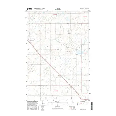
2016 Map of Randall East
USGS Topo · Published 2016About this map
Randall and its surrounding rural landscapes in Morrison County are defined by a complex network of wetlands and small lakes typical of central Minnesota. The Little Elk River meanders across the terrain, passing through a township grid notable for its military-themed road names, including Gettysburg Rd, Champagne Rd, and Chickamauga Rd, likely referencing the nearby military training reservation.
Find a feature on this map
65 named features on this map. Tap any name to fly to it.
Don’t see what you’re looking for? This feature index may not catch every label — zoom into the map to look around manually.
Map Details
Editions of this 2016 Randall East Map
This is the sole edition of this map. No revisions or reprints were ever made.
Other maps of this area

1947 · Flensburg
USGS Topo · 1:25,000

1948 · Belle Prairie
USGS Topo · 1:62,500

1948 · Cushing
USGS Topo · 1:62,500

1948 · Little Falls
USGS Topo · 1:62,500

1950 · Swanville
USGS Topo · 1:62,500

1950 · Belle Prairie
USGS Topo · 1:62,500

1950 · Little Falls
USGS Topo · 1:62,500

1950 · Cushing
USGS Topo · 1:62,500

1951 · Flensburg
USGS Topo · 1:25,000

1953 · Brainerd
USGS Topo · 1:250,000