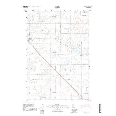
2019 Map of Randall East
USGS Topo · Published 2019About this map
Randall serves as the primary settlement hub in this part of Morrison County, where the local road network converges near the Saint James Catholic Cem. The landscape is defined by the winding course of the Little Elk River, which cuts across the terrain toward the southeast. Numerous glacial basins dot the area, including Green Prairie Fish Lake, Johnson Lake, and Kraft Lake, interspersed with smaller wetlands and creeks like Hay Creek.
Find a feature on this map
50 named features on this map. Tap any name to fly to it.
Don’t see what you’re looking for? This feature index may not catch every label — zoom into the map to look around manually.
Map Details
Editions of this 2019 Randall East Map
This is the sole edition of this map. No revisions or reprints were ever made.
Other maps of this area

1947 · Flensburg
USGS Topo · 1:25,000

1948 · Belle Prairie
USGS Topo · 1:62,500

1948 · Cushing
USGS Topo · 1:62,500

1948 · Little Falls
USGS Topo · 1:62,500

1950 · Swanville
USGS Topo · 1:62,500

1950 · Belle Prairie
USGS Topo · 1:62,500

1950 · Little Falls
USGS Topo · 1:62,500

1950 · Cushing
USGS Topo · 1:62,500

1951 · Flensburg
USGS Topo · 1:25,000

1953 · Brainerd
USGS Topo · 1:250,000