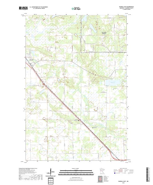
2022 Map of Randall East
USGS Topo · Published 2022About this map
The Little Elk River meanders across this portion of Morrison County, providing a central drainage for a landscape characterized by numerous wetlands and small glacial basins. Near the settlement of Randall, the terrain is marked by established community landmarks such as Saint James Catholic Cem. Further east and south, the map reveals a scattering of rural burial grounds that speak to the area's denominational history, including Immanuel Lutheran Cem and the Old Darling Mission Cem.
Find a feature on this map
55 named features on this map. Tap any name to fly to it.
Don’t see what you’re looking for? This feature index may not catch every label — zoom into the map to look around manually.
Map Details
Editions of this 2022 Randall East Map
This is the sole edition of this map. No revisions or reprints were ever made.
Other maps of this area

1947 · Flensburg
USGS Topo · 1:25,000

1948 · Belle Prairie
USGS Topo · 1:62,500

1948 · Cushing
USGS Topo · 1:62,500

1948 · Little Falls
USGS Topo · 1:62,500

1950 · Swanville
USGS Topo · 1:62,500

1950 · Belle Prairie
USGS Topo · 1:62,500

1950 · Little Falls
USGS Topo · 1:62,500

1950 · Cushing
USGS Topo · 1:62,500

1951 · Flensburg
USGS Topo · 1:25,000

1953 · Brainerd
USGS Topo · 1:250,000