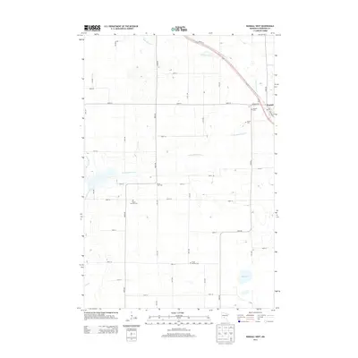
2013 Map of Randall West
USGS Topo · Published 2013About this map
The Little Elk River and its multiple branches, including the S Br Little Elk River, wind through this section of Morrison County, defining the drainage patterns for the surrounding farmland. The settlement of Randall occupies the northeastern corner, situated where Us-10 and the railroad corridor parallel the river's course. This area is notably dense with small local cemeteries, reflecting the early township organization and family history of the region. Genealogists can find the Randall Cem, Parker Cem, Parker Township Cem, and the more southern Parker Bethany Cem. The Parker Town Hall serves as a central landmark for the rural township west of the main village. Further south, the terrain includes Ted Brook Creek and Mud Lake, illustrating the typical glacial hydrology of central Minnesota before the waters eventually reach Irish Cr.
Find a feature on this map
43 named features on this map. Tap any name to fly to it.
Don’t see what you’re looking for? This feature index may not catch every label — zoom into the map to look around manually.
Map Details
Editions of this 2013 Randall West Map
This is the sole edition of this map. No revisions or reprints were ever made.
Other maps of this area

1947 · Flensburg
USGS Topo · 1:25,000

1948 · Belle Prairie
USGS Topo · 1:62,500

1948 · Cushing
USGS Topo · 1:62,500

1948 · Little Falls
USGS Topo · 1:62,500

1950 · Swanville
USGS Topo · 1:62,500

1950 · Belle Prairie
USGS Topo · 1:62,500

1950 · Little Falls
USGS Topo · 1:62,500

1950 · Cushing
USGS Topo · 1:62,500

1951 · Flensburg
USGS Topo · 1:25,000

1953 · Brainerd
USGS Topo · 1:250,000