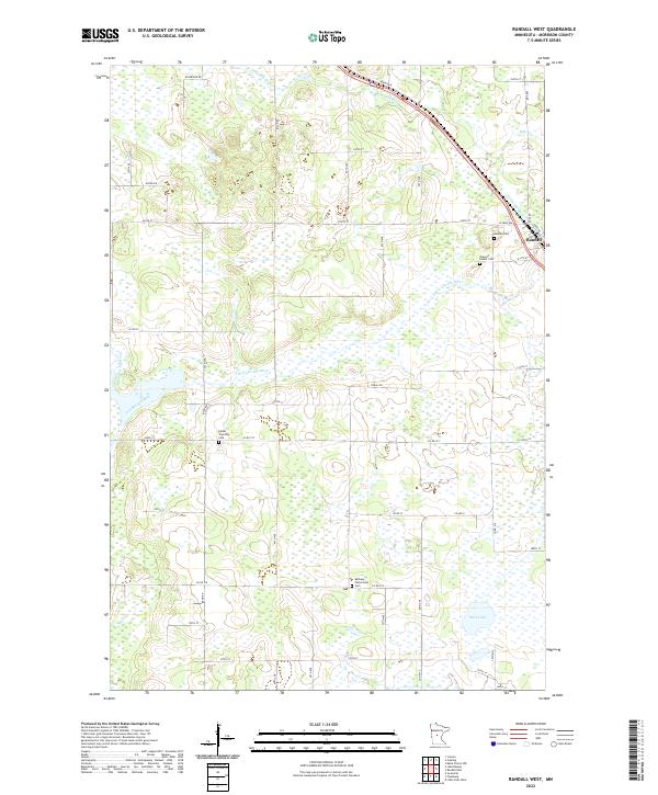
2022 Map of Randall West
USGS Topo · Published 2022About this map
The Little Elk River winds through the rural landscape of Morrison County, defining the drainage patterns of this central Minnesota region. Just east of the river, the small settlement of Randall serves as a local hub, situated near several distinct burial grounds that offer significant value for genealogical research. These include the Randall Cem, Oak Hill Parker Cem, and the Parker Township Cem located further west near Ted Brook Creek. The terrain is characterized by numerous wetlands and small water bodies like Mud Lake, interspersed with a grid of country roads such as Co Rd 217 and Co Hwy 1. Further south, the Bethany Parkertown Cem sits along Co Rd 218, marking the enduring community footprint in this agricultural and river-fed corridor.
Find a feature on this map
39 named features on this map. Tap any name to fly to it.
Don’t see what you’re looking for? This feature index may not catch every label — zoom into the map to look around manually.
Map Details
Editions of this 2022 Randall West Map
This is the sole edition of this map. No revisions or reprints were ever made.
Other maps of this area

1947 · Flensburg
USGS Topo · 1:25,000

1948 · Belle Prairie
USGS Topo · 1:62,500

1948 · Cushing
USGS Topo · 1:62,500

1948 · Little Falls
USGS Topo · 1:62,500

1950 · Swanville
USGS Topo · 1:62,500

1950 · Belle Prairie
USGS Topo · 1:62,500

1950 · Little Falls
USGS Topo · 1:62,500

1950 · Cushing
USGS Topo · 1:62,500

1951 · Flensburg
USGS Topo · 1:25,000

1953 · Brainerd
USGS Topo · 1:250,000