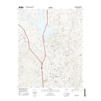
2016 Map of Randleman
USGS Topo · Published 2016About this map
Randleman and its surrounding mill-town history define this corridor of the Deep River as it flow south toward Asheboro. The landscape is a mix of suburban growth and industrial heritage, with the river's path punctuated by Worthville Lake and the settlement of Worthville. Local geography is heavily shaped by water management and recreation, evidenced by the large Randleman City Lake and numerous smaller impoundments like Davis Lake and Hulton Lake. This 2016 survey captures the area at a point of high density, where legacy settlements like Salem and Sophia are linked by a dense network of country roads including Old Plank Rd and Branson Davis Rd. The presence of the Randolph Memorial Park and various family-named landmarks provides a clear view of the modern development footprint overlapping historical Randolph County rural tracts.
Find a feature on this map
200 named features on this map. Tap any name to fly to it.
Don’t see what you’re looking for? This feature index may not catch every label — zoom into the map to look around manually.
Map Details
Editions of this 2016 Randleman Map
This is the sole edition of this map. No revisions or reprints were ever made.
Other maps of this area

1950 · High Point East
USGS Topo · 1:24,000

1951 · High Point East
USGS Topo · 1:24,000

1953 · Raleigh
USGS Topo · 1:250,000

1954 · Raleigh
USGS Topo · 1:250,000

1957 · Asheboro
USGS Topo · 1:62,500

1968 · Ramseur
USGS Topo · 1:24,000
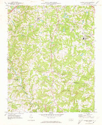
1970 · Pleasant Garden
USGS Topo · 1:24,000
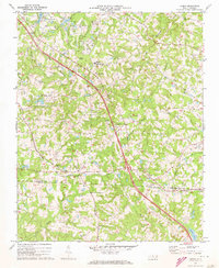
1970 · Climax
USGS Topo · 1:24,000

1970 · Randleman
USGS Topo · 1:24,000
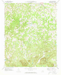
1970 · Glenola
USGS Topo · 1:24,000