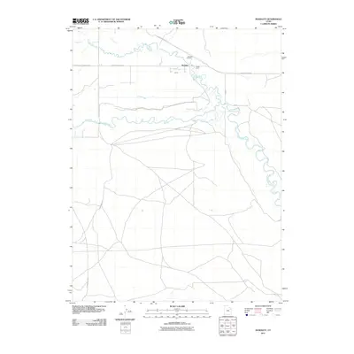
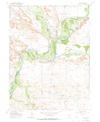
2011 Map of Randlett
USGS Topo · Published 2011About this map
Randlett serves as the focal point for this eastern Utah landscape where the Uinta River and Duchesne River converge. The topography is defined by the high, flat expanse of the Leland Bench, which rises above the complex network of waterways that support the region's agricultural activity. This reliance on water management is evident in the presence of the Ouray School Canal and the Henry Jim Canal, infrastructure essential for the arid environment. Local history and genealogy interests are anchored by the Randlett Cemetery and the Brush Corral, while the local transportation network is illustrated by historic routes such as the Fort Duchesne-Randlett Rd and the Gusher-Randlett Rd. The map provides a detailed view of the natural and engineered drainage systems, including Dry Gulch Creek, as they navigate the basin.
Find a feature on this map
17 named features on this map. Tap any name to fly to it.
Don’t see what you’re looking for? This feature index may not catch every label — zoom into the map to look around manually.
Map Details
Editions of this 2011 Randlett Map
This is the sole edition of this map. No revisions or reprints were ever made.
Other maps of this area

1885 · Ashley
USGS Topo · 1:250,000
1917 · Vernal
USGS Topo · 1:125,000

1954 · Vernal
USGS Topo · 1:250,000
1958 · Vernal
USGS Topo · 1:250,000
1960 · Vernal
USGS Topo · 1:250,000
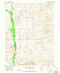
1964 · Fort Duchesne
USGS Topo · 1:24,000
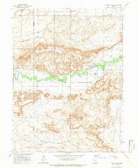
1964 · Windy Ridge
USGS Topo · 1:24,000
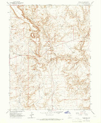
1964 · Vernal SW
USGS Topo · 1:24,000
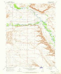
1964 · Randlett
USGS Topo · 1:24,000
1964 · Ouray
USGS Topo · 1:24,000