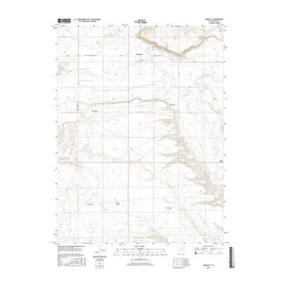
2017 Map of Randlett
USGS Topo · Published 2017About this map
Randlett serves as the focal point of this Uintah County landscape, situated at a junction of early twentieth-century infrastructure and desert water management. The community is defined by a complex network of irrigation systems, including the Ouray School Canal, the Henry-Jim Canal, and the S Fork Dry Gulch Canal, which divert water to sustain life on the arid plateaus. To the south, the Duchesne River carves a deep valley through the high desert, separating the settled areas from the expansive Leland Bench.
Find a feature on this map
17 named features on this map. Tap any name to fly to it.
Don’t see what you’re looking for? This feature index may not catch every label — zoom into the map to look around manually.
Map Details
Editions of this 2017 Randlett Map
This is the sole edition of this map. No revisions or reprints were ever made.
Other maps of this area

1885 · Ashley
USGS Topo · 1:250,000

1917 · Vernal
USGS Topo · 1:125,000

1954 · Vernal
USGS Topo · 1:250,000

1958 · Vernal
USGS Topo · 1:250,000

1960 · Vernal
USGS Topo · 1:250,000
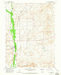
1964 · Fort Duchesne
USGS Topo · 1:24,000
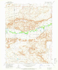
1964 · Windy Ridge
USGS Topo · 1:24,000
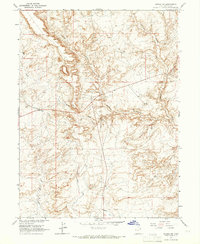
1964 · Vernal SW
USGS Topo · 1:24,000
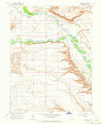
1964 · Randlett
USGS Topo · 1:24,000
1964 · Ouray
USGS Topo · 1:24,000