
1923 Map of Randolph
USGS Topo · Published 1923About this map
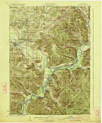
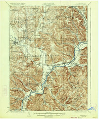
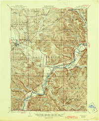
The Allegheny River valley serves as the primary corridor for commerce and community in this 1922 survey, as both the Erie RR and Pennsylvania RR follow its winding banks. This section of Cattaraugus County is defined by the early development of Allegany State Park, where peaks like Mt Onondaga and Mt Seneca rise above a network of deep hollows. The presence of the Allegany Indian Reservation is central to the local geography, featuring several dedicated educational sites such as the Friends Indian School and Indian School No 1. Settlements like Steamburg, Napoli, and Quaker Bridge are connected by a landscape of rural schools, including Lower Elm Creek School and Seager Hill School, reflecting the era's decentralized agricultural life. The southern edge is anchored by the New York Pennsylvania Boundary Line, where the river flows past Onoville toward the border.
Find a feature on this map
116 named features on this map. Tap any name to fly to it.
Don’t see what you’re looking for? This feature index may not catch every label — zoom into the map to look around manually.
Map Details
Editions of this 1923 Randolph Map
4 editions found
Other maps of this area

1900 · Cherry Creek
USGS Topo · 1:62,500

1900 · Salamanca
USGS Topo · 1:62,500

1905 · Jamestown
USGS Topo · 1:62,500

1906 · Warren
USGS Topo · 1:62,500

1907 · Warren
USGS Topo · 1:62,500

1908 · Warren
USGS Topo · 1:62,500

1922 · Randolph
USGS Topo · 1:62,500

1923 · Cattaraugus
USGS Topo · 1:62,500

1924 · Ellicottville
USGS Topo · 1:62,500

1924 · Bradford
USGS Topo · 1:62,500