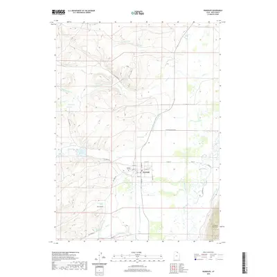
2020 Map of Randolph
USGS Topo · Published 2020About this map
The town of Randolph serves as a hub for this agricultural and ranching landscape in northern Utah, where the Bear River meanders through a broad valley floor. This 2020 record illustrates an intricate network of irrigation and water management, featuring the Randolph Woodruff Canal, Sage Cr Canal, and Big Ditch. To the west, the terrain rises into the highlands marked by Dry Canyon and various family-named water sources like Atkins Spring and Hatch Spring.
Find a feature on this map
47 named features on this map. Tap any name to fly to it.
Don’t see what you’re looking for? This feature index may not catch every label — zoom into the map to look around manually.
Map Details
Editions of this 2020 Randolph Map
This is the sole edition of this map. No revisions or reprints were ever made.
Other maps of this area

1912 · Randolph
USGS Topo · 1:125,000

1954 · Ogden
USGS Topo · 1:250,000

1958 · Ogden
USGS Topo · 1:250,000

1960 · Ogden
USGS Topo · 1:250,000

1968 · Rex Peak
USGS Topo · 1:24,000

1968 · Randolph
USGS Topo · 1:24,000

1968 · Woodruff
USGS Topo · 1:24,000
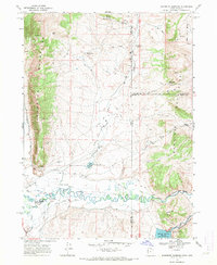
1968 · Woodruff Narrows
USGS Topo · 1:24,000
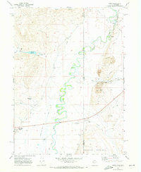
1969 · Leefe
USGS Topo · 1:24,000
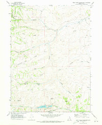
1969 · Birch Creek Reservoirs
USGS Topo · 1:24,000