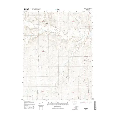
2015 Map of Randolph
USGS Topo · Published 2015About this map
Randolph stands at the eastern edge of this northern Riley County landscape, where the local road network converges near the banks of Walnut Creek. The settlement pattern follows the drainage of Fancy Creek and its many tributaries, such as Otter Cr and Crooked Cr, which carve through the terrain. To the west and south, the smaller communities of Winkler and Walsburg serve as local anchors.
Find a feature on this map
56 named features on this map. Tap any name to fly to it.
Don’t see what you’re looking for? This feature index may not catch every label — zoom into the map to look around manually.
Map Details
Editions of this 2015 Randolph Map
This is the sole edition of this map. No revisions or reprints were ever made.
Other maps of this area

1886 · Junction City
USGS Topo · 1:125,000

1889 · Marysville
USGS Topo · 1:125,000

1889 · Junction City
USGS Topo · 1:125,000

1894 · Junction City
USGS Topo · 1:125,000

1894 · Marysville
USGS Topo · 1:125,000

1955 · Manhattan
USGS Topo · 1:250,000

1956 · Manhattan
USGS Topo · 1:250,000

1957 · Manhattan
USGS Topo · 1:250,000
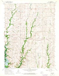
1963 · Bala
USGS Topo · 1:24,000
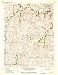
1963 · Lasita
USGS Topo · 1:24,000