2024 Map of Rangeley
USGS Topo · Published 2024About this map
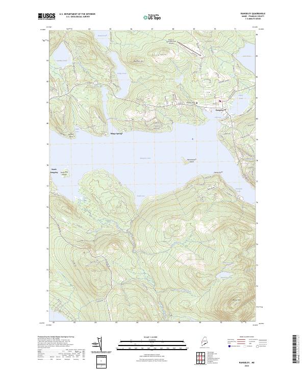
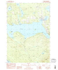
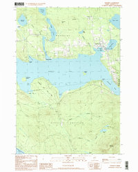
Rangeley serves as the focal point of this lakeside region, situated at the northeastern edge of Rangeley Lake. The settlement pattern reflects a mix of aviation and recreation, with the Steven A. Bean Municipal Airport to the north and numerous small seasonal road networks like Mingo Loop Rd and Bonney Point Rd tracing the shorelines. Mingo Springs and South Rangeley anchor the surrounding timberlands, while the Rangeley Village Cem preserves the genealogy of the local community.
Find a feature on this map
101 named features on this map. Tap any name to fly to it.
Don’t see what you’re looking for? This feature index may not catch every label — zoom into the map to look around manually.
Map Details
Editions of this 2024 Rangeley Map
This is the sole edition of this map. No revisions or reprints were ever made.
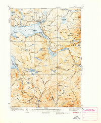
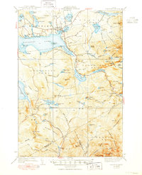
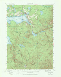
Historical Maps of Mingo Springs Through Time
7 maps found
Featured Locations
- Franklin County, ME
- Sandy River Plantation, ME
- Dallas Plantation, ME
- Rangeley, ME
- Rangeley Plantation, ME