
1939 Map of Rangeley
USGS Topo · Published 1939About this map
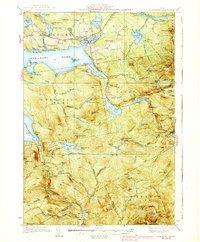
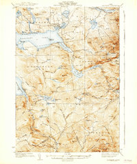
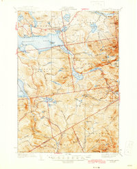
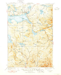
Rangeley serves as the focal point of this late 1930s landscape, positioned where the Airport and municipal buildings meet the eastern shores of Rangeley Lake. The topography is dominated by the high peaks of the Longfellow Mountains, including Saddleback Mtn with its Fire Tower and the prominent Bemis Mtn. A significant portion of the Appalachian Trail winds through the central and southern peaks, passing between Sabbath Day Pond and Four Ponds Mtn. Traces of earlier industrial and transportation networks are visible in the numerous railroad lines marked Abandoned, particularly those formerly serving the timber-rich areas around Mooselookmeguntic Lake and Houghton. Rural education is noted through local landmarks like Lakeside Sch and Greenvale Sch, while recreation is evident at Mingo Springs and Bonney Point.
Find a feature on this map
86 named features on this map. Tap any name to fly to it.
Don’t see what you’re looking for? This feature index may not catch every label — zoom into the map to look around manually.
Map Details
Editions of this 1939 Rangeley Map
5 editions found
Other maps of this area

1926 · Dixfield
USGS Topo · 1:62,500

1927 · Rumford
USGS Topo · 1:48,000

1928 · Stratton
USGS Topo · 1:48,000

1929 · Phillips
USGS Topo · 1:48,000

1929 · Dixfield
USGS Topo · 1:62,500

1930 · Rumford
USGS Topo · 1:62,500

1931 · Cupsuptic
USGS Topo · 1:48,000

1932 · Phillips
USGS Topo · 1:62,500

1932 · Stratton
USGS Topo · 1:62,500

1932 · Kennebago Lake
USGS Topo · 1:48,000
Featured Places
- Rangeley, ME
- Dallas Plantation, ME
- Rangeley Plantation, ME
- Madrid Township, ME
- Sandy River Plantation, ME