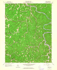
1962 Map of Ranger
USGS Topo · Published 1964About this map
The Guyandotte River carves a winding path through the heart of the southern West Virginia coalfields, serving as the primary corridor for the Chesapeake and Ohio railroad. In the early 1960s, the landscape around Ranger and Atenville was defined by a network of hollows and ridges, such as Laurel Hill, where community life centered on localized institutions like the Sias Port Ch and Big Branch Sch.
Find a feature on this map
79 named features on this map. Tap any name to fly to it.
Don’t see what you’re looking for? This feature index may not catch every label — zoom into the map to look around manually.
Map Details
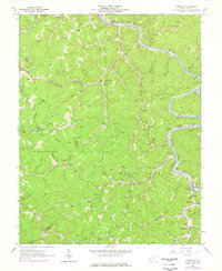
Editions of this 1962 Ranger Map
2 editions found
Other maps of this area

1887 · Warfield
USGS Topo · 1:125,000

1891 · Warfield
USGS Topo · 1:125,000

1892 · Huntington
USGS Topo · 1:125,000

1898 · Huntington
USGS Topo · 1:125,000

1902 · Midkiff
USGS Topo · 1:62,500

1907 · Midkiff
USGS Topo · 1:62,500

1909 · Wayne
USGS Topo · 1:62,500

1909 · Midkiff
USGS Topo · 1:62,500

1910 · Holden
USGS Topo · 1:48,000

1910 · Naugatuck
USGS Topo · 1:48,000