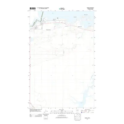
2013 Map of Ranier
USGS Topo · Published 2013About this map
Ranier sits at the vital juncture where Rainy Lake flows into the Rainy River, marking a point of international transit along the border between Minnesota and Ontario. This 2013 survey details the interface of land and water, showing how local life centers on the waterfront from the Po in town to the residential clusters at Jameson. The landscape is defined by its complex shoreline, characterized by numerous inlets and landforms such as Ogard Point and Birch Point. Moving south from the border, the terrain transitions into a dense network of wetlands and smaller watercourses. The map traces the southward flow of Jackfish Cr toward the significant hydrological system of Rat Root River and Rat Root Lake, illustrating the vast, interconnected aquatic geography of Koochiching Co.
Find a feature on this map
27 named features on this map. Tap any name to fly to it.
Don’t see what you’re looking for? This feature index may not catch every label — zoom into the map to look around manually.
Map Details
Editions of this 2013 Ranier Map
This is the sole edition of this map. No revisions or reprints were ever made.
Other maps of this area

1919 · International Falls
USGS Topo · 1:62,500

1954 · International Falls
USGS Topo · 1:250,000

1957 · International Falls
USGS Topo · 1:250,000

1958 · International Falls
USGS Topo · 1:250,000

1963 · Ranier
USGS Topo · 1:24,000

1969 · Island View
USGS Topo · 1:24,000

1969 · Ericsburg NW
USGS Topo · 1:24,000

1969 · Ericsburg
USGS Topo · 1:24,000

1969 · Ray
USGS Topo · 1:24,000

1969 · Ranier
USGS Topo · 1:24,000