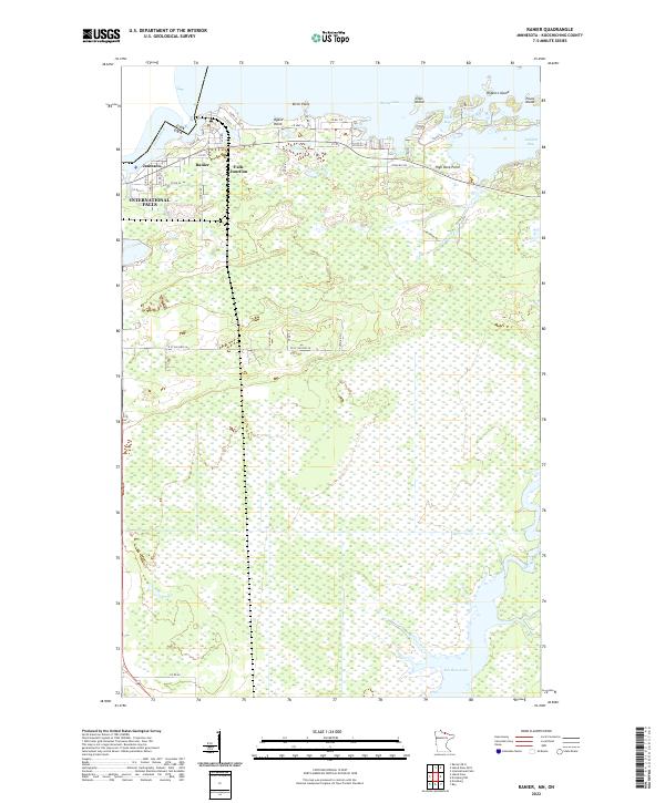
2022 Map of Ranier
USGS Topo · Published 2022About this map
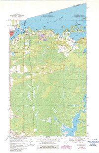
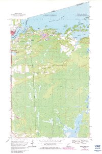
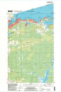
The Rainy River and Rainy Lake define the international border on this northern Minnesota landscape, where the settlement of Ranier sits at the water's edge. This region is characterized by a transition from the structured township grids of the interior to the complex, irregular shoreline of the border waters. Near the river, the village of Jameson and the railroad-oriented Falls Junction mark the northern development before the terrain gives way to the wetlands of the south.
Find a feature on this map
50 named features on this map. Tap any name to fly to it.
Don’t see what you’re looking for? This feature index may not catch every label — zoom into the map to look around manually.
Map Details
Editions of this 2022 Ranier Map
This is the sole edition of this map. No revisions or reprints were ever made.
Historical Maps of International Falls Through Time
4 maps found