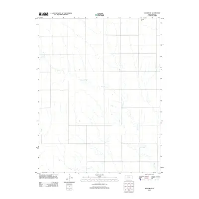
2012 Map of Ransom SE
USGS Topo · Published 2012About this map
Bazine Dry Cr meanders across this rural section of Ness County, carving a subtle drainage pattern through the central plains landscape. The terrain is defined by its intermittent waterways, including the winding course of Long Br that feeds into the larger dry creek system. Located in the northeast corner of the sheet, Brownwell Cem serves as a primary point of interest for genealogists and local historians, anchoring the surrounding agricultural sections. This 2012 survey illustrates the grid-based road network and land divisions that persist in this part of western Kansas, where water resources like Bazine Dry Cr historically dictated the placement of early settlements and homesteads.
Find a feature on this map
3 named features on this map. Tap any name to fly to it.
Don’t see what you’re looking for? This feature index may not catch every label — zoom into the map to look around manually.
Map Details
Editions of this 2012 Ransom SE Map
This is the sole edition of this map. No revisions or reprints were ever made.
Other maps of this area

1892 · Ness
USGS Topo · 1:125,000

1893 · Ellis
USGS Topo · 1:125,000

1894 · Ness
USGS Topo · 1:125,000

1955 · Great Bend
USGS Topo · 1:250,000

1957 · Great Bend
USGS Topo · 1:250,000

1958 · Great Bend
USGS Topo · 1:250,000

1966 · Ransom SE
USGS Topo · 1:24,000

1966 · Mc Cracken SW
USGS Topo · 1:24,000

1966 · Ness City
USGS Topo · 1:24,000

1966 · Ness City NE
USGS Topo · 1:24,000