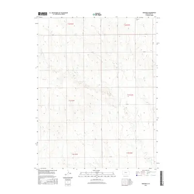
2015 Map of Ransom SE
USGS Topo · Published 2015About this map
Vansburgh Cem sits in the northeastern corner of this Ness County landscape, offering a focal point for genealogical research in an area defined by its agricultural grid and drainage patterns. The terrain is shaped by the winding course of Bazine Dry Cr, which meanders through the central and southern sections, joined by Long Br in the southeast. This survey illustrates the systematic division of the High Plains into sections, with a network of rural routes such as U Rd, N Z Rd, and E 170 Rd providing access to the open country. The map captures the quiet character of western Kansas, where the land is primarily organized by township and range boundaries like t17s r23w and t17s r22w.
Find a feature on this map
21 named features on this map. Tap any name to fly to it.
Don’t see what you’re looking for? This feature index may not catch every label — zoom into the map to look around manually.
Map Details
Editions of this 2015 Ransom SE Map
This is the sole edition of this map. No revisions or reprints were ever made.
Other maps of this area

1892 · Ness
USGS Topo · 1:125,000

1893 · Ellis
USGS Topo · 1:125,000

1894 · Ness
USGS Topo · 1:125,000

1955 · Great Bend
USGS Topo · 1:250,000

1957 · Great Bend
USGS Topo · 1:250,000

1958 · Great Bend
USGS Topo · 1:250,000

1966 · Ransom SE
USGS Topo · 1:24,000

1966 · Mc Cracken SW
USGS Topo · 1:24,000

1966 · Ness City
USGS Topo · 1:24,000

1966 · Ness City NE
USGS Topo · 1:24,000