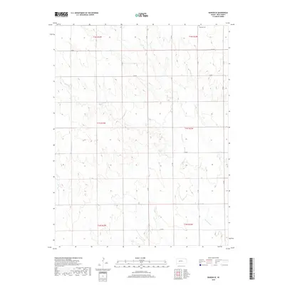
2018 Map of Ransom SE
USGS Topo · Published 2018About this map
Vansburgh Cem sits near the northern boundary of this western Kansas landscape, providing a specific point of interest for genealogists and local historians. The area is defined by a systematic grid of section lines and rural routes, such as N W Rd and E 240 Rd, which partition the high plains of Ness County. The drainage of Bazine Dry Cr meanders across the township lines of t16s r23w and t17s r22w, its seasonal path etched into the terrain. This 2018 survey reveals a sparse settlement pattern where land use is dictated by the vast, open stretches between maintained roads like N Z Rd and E 170 Rd.
Find a feature on this map
20 named features on this map. Tap any name to fly to it.
Don’t see what you’re looking for? This feature index may not catch every label — zoom into the map to look around manually.
Map Details
Editions of this 2018 Ransom SE Map
This is the sole edition of this map. No revisions or reprints were ever made.
Other maps of this area

1892 · Ness
USGS Topo · 1:125,000

1893 · Ellis
USGS Topo · 1:125,000

1894 · Ness
USGS Topo · 1:125,000

1955 · Great Bend
USGS Topo · 1:250,000

1957 · Great Bend
USGS Topo · 1:250,000

1958 · Great Bend
USGS Topo · 1:250,000

1966 · Ransom SE
USGS Topo · 1:24,000

1966 · Mc Cracken SW
USGS Topo · 1:24,000

1966 · Ness City
USGS Topo · 1:24,000

1966 · Ness City NE
USGS Topo · 1:24,000