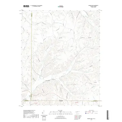
2019 Map of Ransom Stand
USGS Topo · Published 2019About this map
Ransom Stand serves as a central point in this transition zone where the hills of Tennessee meet the Alabama state line. The landscape is defined by an intricate network of hollows and ridges, many bearing the names of local families who settled the area, such as McFalls Ridge, Bevis Ridge, and Patterson Hollow. For genealogists, the map is particularly detailed in its placement of family burial grounds, including the Stribling, Gean, Brown, and McFalls cemeteries, often located on higher ground overlooking the creek valleys.
Find a feature on this map
80 named features on this map. Tap any name to fly to it.
Don’t see what you’re looking for? This feature index may not catch every label — zoom into the map to look around manually.
Map Details
Editions of this 2019 Ransom Stand Map
This is the sole edition of this map. No revisions or reprints were ever made.
Other maps of this area

1905 · Waynesboro
USGS Topo · 1:125,000

1911 · Iuka
USGS Topo · 1:48,000

1914 · Iuka
USGS Topo · 1:62,500

1924 · Gravelly Springs
USGS Topo · 1:48,000

1926 · Gravelly Springs
USGS Topo · 1:62,500

1935 · Wright
USGS Topo · 1:24,000

1936 · Wolf Pit Ridge
USGS Topo · 1:24,000

1936 · Waterloo
USGS Topo · 1:24,000

1936 · Threet
USGS Topo · 1:24,000

1936 · Cypress Inn
USGS Topo · 1:24,000