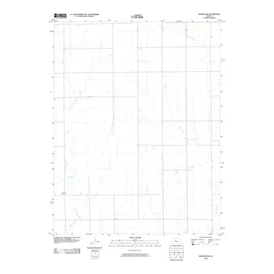
2009 Map of Ransom SW
USGS Topo · Published 2009About this map
North Star Cemetery serves as a lone marker of local heritage in this section of Ness County, where the High Plains landscape is defined by its drainage systems rather than concentrated towns. The land is dissected by numerous waterways, including the winding course of Wild Horse Creek, Forrester Creek, and the ephemeral Bazine Dry Creek. This 2009 survey shows a highly organized section line road network, with routes like W 220 Rd and N P Rd carving out the agricultural grid. The prevalence of these drainage branches, such as Long Branch, illustrates the natural hydrology that shaped land use and field boundaries in this rural western Kansas interior.
Find a feature on this map
10 named features on this map. Tap any name to fly to it.
Don’t see what you’re looking for? This feature index may not catch every label — zoom into the map to look around manually.
Map Details
Editions of this 2009 Ransom SW Map
This is the sole edition of this map. No revisions or reprints were ever made.
Other maps of this area

1892 · Ness
USGS Topo · 1:125,000

1893 · Ellis
USGS Topo · 1:125,000

1894 · Ness
USGS Topo · 1:125,000

1955 · Great Bend
USGS Topo · 1:250,000

1955 · Scott City
USGS Topo · 1:250,000

1957 · Great Bend
USGS Topo · 1:250,000

1958 · Great Bend
USGS Topo · 1:250,000

1958 · Scott City
USGS Topo · 1:250,000

1966 · Ransom SE
USGS Topo · 1:24,000

1966 · Ness City
USGS Topo · 1:24,000