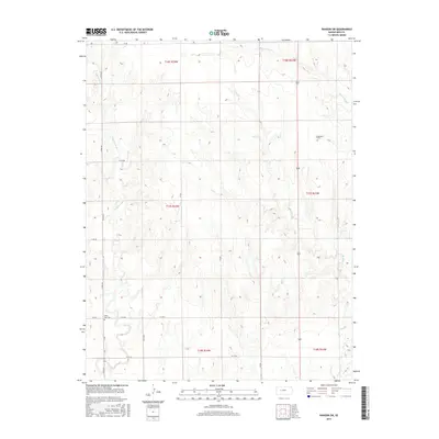
2015 Map of Ransom SW
USGS Topo · Published 2015About this map
Wild Horse Creek and Forrester Creek define the drainage patterns of this rural landscape in Ness County. The area is marked by a systematic grid of section lines and county roads, such as County Road 533 and 180 Road, reflecting the enduring township and range survey system. Small family or community landmarks provide essential points for genealogical research, notably North Star Cemetery near the southern boundary and Dagenett Cemetery to the northeast. Watercourses like Bazine Dry Creek and Long Branch cut through the terrain, illustrating the intermittent nature of the prairie hydrological network. This map documents a sparsely populated agricultural region where historical burial sites and ephemeral streams are the primary markers of human and natural history.
Find a feature on this map
23 named features on this map. Tap any name to fly to it.
Don’t see what you’re looking for? This feature index may not catch every label — zoom into the map to look around manually.
Map Details
Editions of this 2015 Ransom SW Map
This is the sole edition of this map. No revisions or reprints were ever made.
Other maps of this area

1892 · Ness
USGS Topo · 1:125,000

1893 · Ellis
USGS Topo · 1:125,000

1894 · Ness
USGS Topo · 1:125,000

1955 · Great Bend
USGS Topo · 1:250,000

1955 · Scott City
USGS Topo · 1:250,000

1957 · Great Bend
USGS Topo · 1:250,000

1958 · Great Bend
USGS Topo · 1:250,000

1958 · Scott City
USGS Topo · 1:250,000

1966 · Ransom SE
USGS Topo · 1:24,000

1966 · Ness City
USGS Topo · 1:24,000