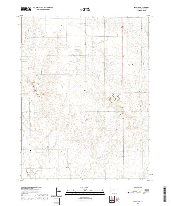
2022 Map of Ransom SW
USGS Topo · Published 2022About this map
Ness County's open agricultural plains are defined by the intermittent drainage patterns of the western Kansas prairie. These ephemeral watercourses, including Bazine Dry Cr and Wild Horse Cr, carve subtle draws through the landscape, dictating the placement of rural section roads and homesteads. The map illustrates a strictly ordered grid system, where long-standing routes like Co RD 533 and 180 RD provide the primary framework for local travel between the expansive townships of t17s r24w and t16s r23w. For local historians and genealogists, the preservation of smaller landmarks is key, notably the Dagenett Cem and North Star Cem. These sites serve as enduring anchors for family research in a territory where the natural landscape remains largely dominated by drainage basins like Long Br and Forrester Cr.
Find a feature on this map
25 named features on this map. Tap any name to fly to it.
Don’t see what you’re looking for? This feature index may not catch every label — zoom into the map to look around manually.
Map Details
Editions of this 2022 Ransom SW Map
This is the sole edition of this map. No revisions or reprints were ever made.
Other maps of this area

1892 · Ness
USGS Topo · 1:125,000

1893 · Ellis
USGS Topo · 1:125,000

1894 · Ness
USGS Topo · 1:125,000

1955 · Great Bend
USGS Topo · 1:250,000

1955 · Scott City
USGS Topo · 1:250,000

1957 · Great Bend
USGS Topo · 1:250,000

1958 · Great Bend
USGS Topo · 1:250,000

1958 · Scott City
USGS Topo · 1:250,000

1966 · Ransom SE
USGS Topo · 1:24,000

1966 · Ness City
USGS Topo · 1:24,000