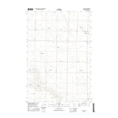
2017 Map of Rapelje
USGS Topo · Published 2017About this map
Rapelje serves as the primary hub in this portion of Stillwater County, situated at the intersection of Rapelje Rd and Main St. The landscape is defined by the broad Lake Basin and a series of prominent elevations named for local families and figures, including Hugh Henry Hill, Jones Hill, and Love Hill. A complex network of drainage basins feeds into the area, with Sixshooter Cr and Middle Cr winding through the township lines of T3N and T2N.
Find a feature on this map
34 named features on this map. Tap any name to fly to it.
Don’t see what you’re looking for? This feature index may not catch every label — zoom into the map to look around manually.
Map Details
Editions of this 2017 Rapelje Map
This is the sole edition of this map. No revisions or reprints were ever made.
Other maps of this area

1889 · Big Snowy Mountain
USGS Topo · 1:250,000

1892 · Stillwater
USGS Topo · 1:125,000

1893 · Big Snowy Mountain
USGS Topo · 1:250,000

1954 · Billings
USGS Topo · 1:250,000

1954 · Roundup
USGS Topo · 1:250,000

1955 · Antelope Point
USGS Topo · 1:24,000

1955 · Russell Gulch
USGS Topo · 1:24,000

1956 · Rapelje
USGS Topo · 1:24,000

1956 · Battle Butte
USGS Topo · 1:24,000

1956 · Lindemulder Hill
USGS Topo · 1:24,000