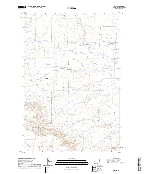
2024 Map of Rapelje
USGS Topo · Published 2024About this map
Rapelje serves as the primary hub of this Stillwater County landscape, where the grain-farming economy of the Lake Basin region meets the drainage networks of the high plains. The settlement patterns follow a rigid grid of section lines and rural roads, such as Stagecoach Rd and Big Timber Rd, which cross a terrain marked by numerous ephemeral coulees and creeks. Waterways like Middle Creek and Sixshooter Creek meander through the prairie, providing vital drainage for the surrounding agricultural tracts. To the south, the topography shifts from flat basin lands to more pronounced elevations. Prominent landforms such as Jones Hill, Hugh Henry Hill, and Love Hill punctuate the horizon, offering a detailed look at the local geography. Significant landmarks for local history include the Rapelje Cem and the small settlement of Busteed, which sits along Cedar Creek.
Find a feature on this map
37 named features on this map. Tap any name to fly to it.
Don’t see what you’re looking for? This feature index may not catch every label — zoom into the map to look around manually.
Map Details
Editions of this 2024 Rapelje Map
This is the sole edition of this map. No revisions or reprints were ever made.
Other maps of this area

1889 · Big Snowy Mountain
USGS Topo · 1:250,000

1892 · Stillwater
USGS Topo · 1:125,000

1893 · Big Snowy Mountain
USGS Topo · 1:250,000

1954 · Billings
USGS Topo · 1:250,000

1954 · Roundup
USGS Topo · 1:250,000

1955 · Antelope Point
USGS Topo · 1:24,000

1955 · Russell Gulch
USGS Topo · 1:24,000

1956 · Rapelje
USGS Topo · 1:24,000

1956 · Battle Butte
USGS Topo · 1:24,000

1956 · Lindemulder Hill
USGS Topo · 1:24,000