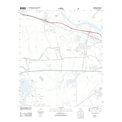
2012 Map of Rapides
USGS Topo · Published 2012About this map
The Red River defines the northern landscape of this region, winding past settlements like Alfalfa, Rapides, and Barrett. The presence of the Alexandria International Airport and the nearby Chandler Airport indicates the area's importance as an aviation hub for Rapides Parish. To the south, the terrain transitions into a complex network of waterways, including Bayou Rapides and Bayou Boeuf, which have historically dictated the placement of infrastructure such as the Lamothe Bridge and Kincaid Bridge.
Find a feature on this map
112 named features on this map. Tap any name to fly to it.
Don’t see what you’re looking for? This feature index may not catch every label — zoom into the map to look around manually.
Map Details
Editions of this 2012 Rapides Map
This is the sole edition of this map. No revisions or reprints were ever made.
Other maps of this area

1932 · Boyce NE
USGS Topo · 1:31,680

1932 · Boyce SW
USGS Topo · 1:31,680

1935 · Lecompte
USGS Topo · 1:62,500

1941 · Alexandria
USGS Topo · 1:62,500

1941 · Boyce
USGS Topo · 1:62,500

1945 · Boyce SE
USGS Topo · 1:31,680

1949 · Boyce NW
USGS Topo · 1:31,680

1949 · Boyce SE
USGS Topo · 1:31,680

1953 · Alexandria
USGS Topo · 1:250,000

1955 · Alexandria
USGS Topo · 1:250,000