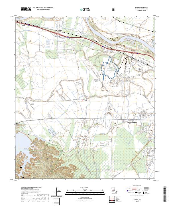
2024 Map of Rapides
USGS Topo · Published 2024About this map
The winding Red River defines the northern edge of this landscape, where the alluvial plain transitions into the southern uplands of the Kisatchie National Forest. A complex network of waterways, including Bayou Rapides, Bayou Boeuf, and Sandy Bayou, illustrates the historical drainage patterns that shaped local agriculture and settlement. Significant infrastructure is prominent on the sheet, with the England Authority and the Alexandria International Airport occupying the central corridor.
Find a feature on this map
123 named features on this map. Tap any name to fly to it.
Don’t see what you’re looking for? This feature index may not catch every label — zoom into the map to look around manually.
Map Details
Editions of this 2024 Rapides Map
This is the sole edition of this map. No revisions or reprints were ever made.
Other maps of this area

1932 · Boyce NE
USGS Topo · 1:31,680

1932 · Boyce SW
USGS Topo · 1:31,680

1935 · Lecompte
USGS Topo · 1:62,500

1941 · Alexandria
USGS Topo · 1:62,500

1941 · Boyce
USGS Topo · 1:62,500

1945 · Boyce SE
USGS Topo · 1:31,680

1949 · Boyce NW
USGS Topo · 1:31,680

1949 · Boyce SE
USGS Topo · 1:31,680

1953 · Alexandria
USGS Topo · 1:250,000

1955 · Alexandria
USGS Topo · 1:250,000