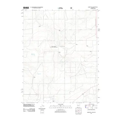
2011 Map of Rardin Hill
USGS Topo · Published 2011About this map
Rardin Hill rises above a high-plains landscape defined by seasonal water and long-established ranching infrastructure. The geography is characterized by the wide, shallow drainage of Seneca Creek and ephemeral basins such as Murphy Lake and Golden Lake. Much of the central and northern terrain is managed as part of the Rita Blanca National Grassland, where a grid of rural roads such as Seneca Rd and Knowles Rd provides access to remote sections.
Find a feature on this map
26 named features on this map. Tap any name to fly to it.
Don’t see what you’re looking for? This feature index may not catch every label — zoom into the map to look around manually.
Map Details
Editions of this 2011 Rardin Hill Map
This is the sole edition of this map. No revisions or reprints were ever made.
Other maps of this area

1954 · Dalhart
USGS Topo · 1:250,000

1958 · Dalhart
USGS Topo · 1:250,000

1962 · Dalhart
USGS Topo · 1:250,000

1969 · Felt SW
USGS Topo · 1:24,000

1969 · Wheeless
USGS Topo · 1:24,000

1970 · Clayton
USGS Topo · 1:24,000

1970 · Texline North
USGS Topo · 1:24,000

1972 · Seneca
USGS Topo · 1:24,000

1972 · Rardin Hill
USGS Topo · 1:24,000

1972 · Moses
USGS Topo · 1:24,000