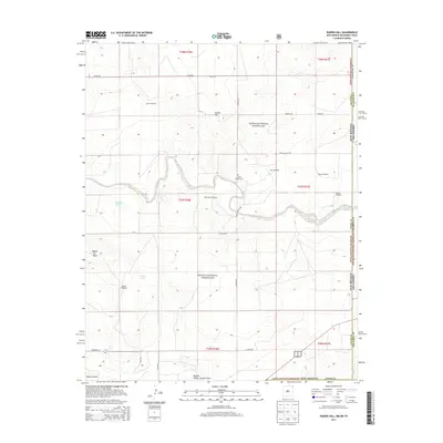
2013 Map of Rardin Hill
USGS Topo · Published 2013About this map
Kiowa National Grassland dominates this section of the High Plains, where the border between New Mexico and Oklahoma meets. The landscape is defined by the winding course of Seneca Creek as it carves through the terrain, flanked by notable landforms such as Rabbit Ear Mesa and Rardin Hill. This area, primarily used for cattle ranching and conservation, is marked by a network of windmills such as Barton Windmill and Mock Windmill, which signify the critical importance of groundwater in this arid environment.
Find a feature on this map
37 named features on this map. Tap any name to fly to it.
Don’t see what you’re looking for? This feature index may not catch every label — zoom into the map to look around manually.
Map Details
Editions of this 2013 Rardin Hill Map
This is the sole edition of this map. No revisions or reprints were ever made.
Other maps of this area

1954 · Dalhart
USGS Topo · 1:250,000

1958 · Dalhart
USGS Topo · 1:250,000

1962 · Dalhart
USGS Topo · 1:250,000

1969 · Felt SW
USGS Topo · 1:24,000

1969 · Wheeless
USGS Topo · 1:24,000

1970 · Clayton
USGS Topo · 1:24,000

1970 · Texline North
USGS Topo · 1:24,000

1972 · Seneca
USGS Topo · 1:24,000

1972 · Rardin Hill
USGS Topo · 1:24,000

1972 · Moses
USGS Topo · 1:24,000