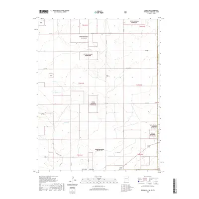
2020 Map of Rardin Hill
USGS Topo · Published 2020About this map
Kiowa National Grassland dominates this high plains landscape at the intersection of Oklahoma, New Mexico, and Texas. This modern survey illustrates a sparsely populated ranching and conservation corridor where the section lines are defined by a network of gravel roads including Seneca Rd and Boot Hill Rd. A significant local landmark, Creeds Chapel Cem, stands as a point of historical continuity amidst the shifting drainage patterns of Seneca Cr and the seasonal basins of Murphy Lake and Golden Lake. The topography is marked by distinct rises like Rardin Hill and the edge of Rabbit Ear Mesa, while the southern reaches drop into Apache Valley. The presence of the Booster Station Hwy reflects the infrastructure supporting the region's energy and agricultural needs in the early twenty-first century.
Find a feature on this map
35 named features on this map. Tap any name to fly to it.
Don’t see what you’re looking for? This feature index may not catch every label — zoom into the map to look around manually.
Map Details
Editions of this 2020 Rardin Hill Map
This is the sole edition of this map. No revisions or reprints were ever made.
Other maps of this area

1954 · Dalhart
USGS Topo · 1:250,000

1958 · Dalhart
USGS Topo · 1:250,000

1962 · Dalhart
USGS Topo · 1:250,000

1969 · Felt SW
USGS Topo · 1:24,000

1969 · Wheeless
USGS Topo · 1:24,000

1970 · Clayton
USGS Topo · 1:24,000

1970 · Texline North
USGS Topo · 1:24,000

1972 · Seneca
USGS Topo · 1:24,000

1972 · Rardin Hill
USGS Topo · 1:24,000

1972 · Moses
USGS Topo · 1:24,000